Cape Brett Track | Northland
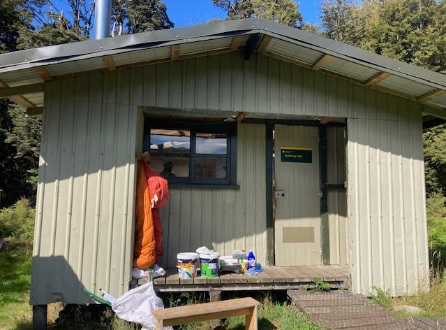
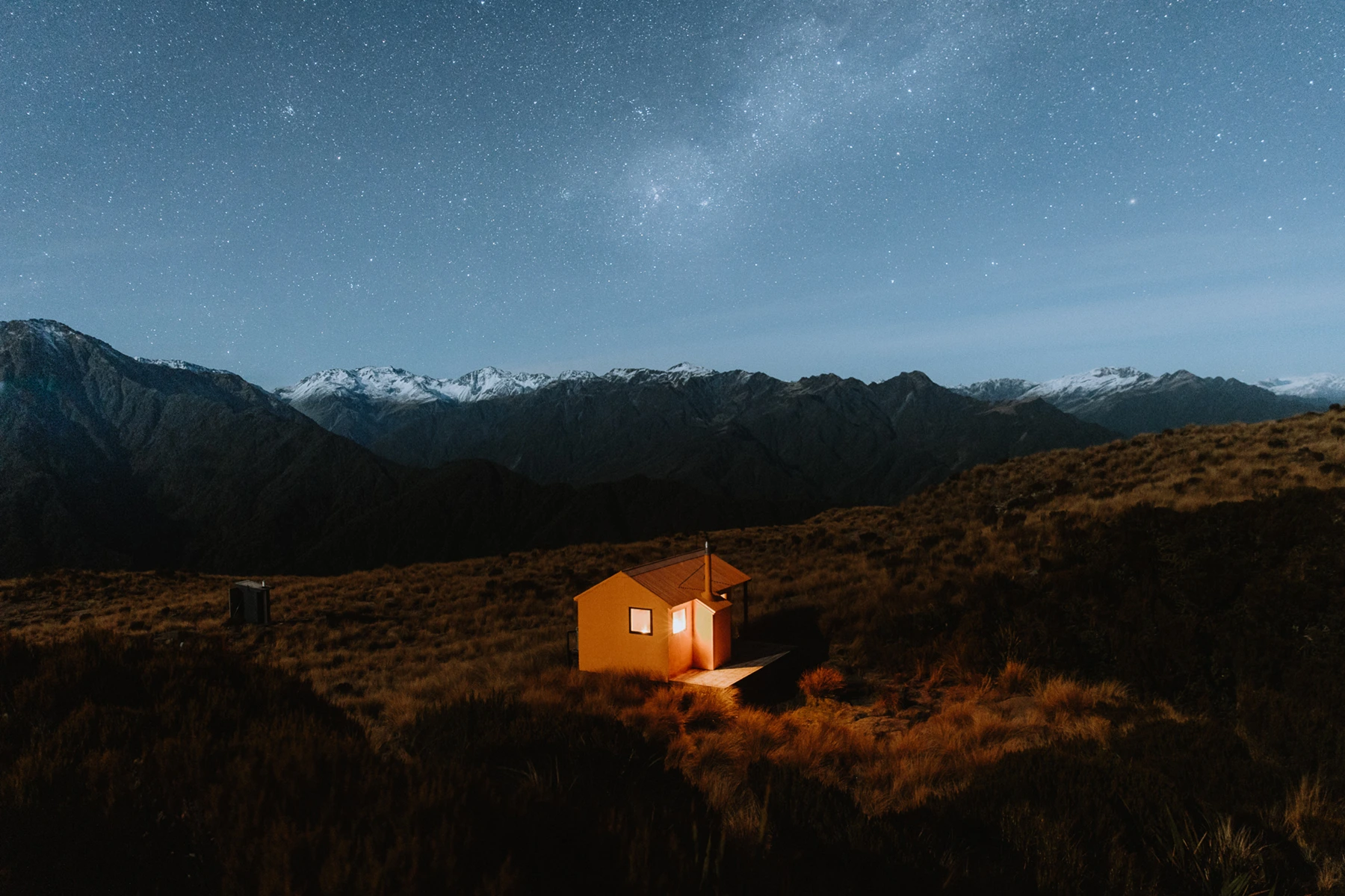
Located in the southern end of the pristine Bay of Islands, Cape Brett is an area of the country that is seen by many, but explored by few. Motukokako Island lies just off the tip of the peninsula, with the famous “Hole in the Rock” cruise rolling through a couple of times a day in the summertime. The peninsula itself of dry, rocky and unforgiving, but undeniably breathtaking (in more ways than one!) Stands of juvenile Kauri, masses of Manuka, and the most rugged of coastlines, its definitely a hike to put on the bucket list if you’re up for a challenge. The Cape Brett Hut originally served as one of the three Lighthouse Keeper’s houses on the tip of the peninsula, and has now been converted into a 23-bunk serviced hut, that makes for one of DOC’s most unique overnight stays.
Overview
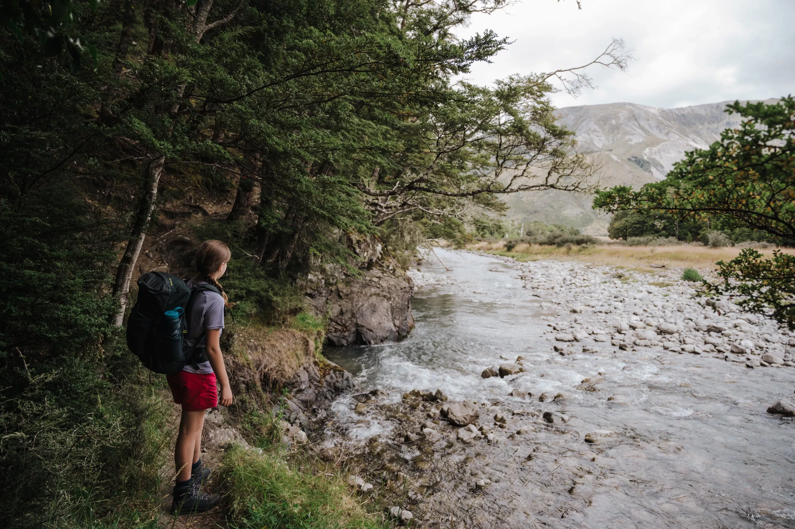
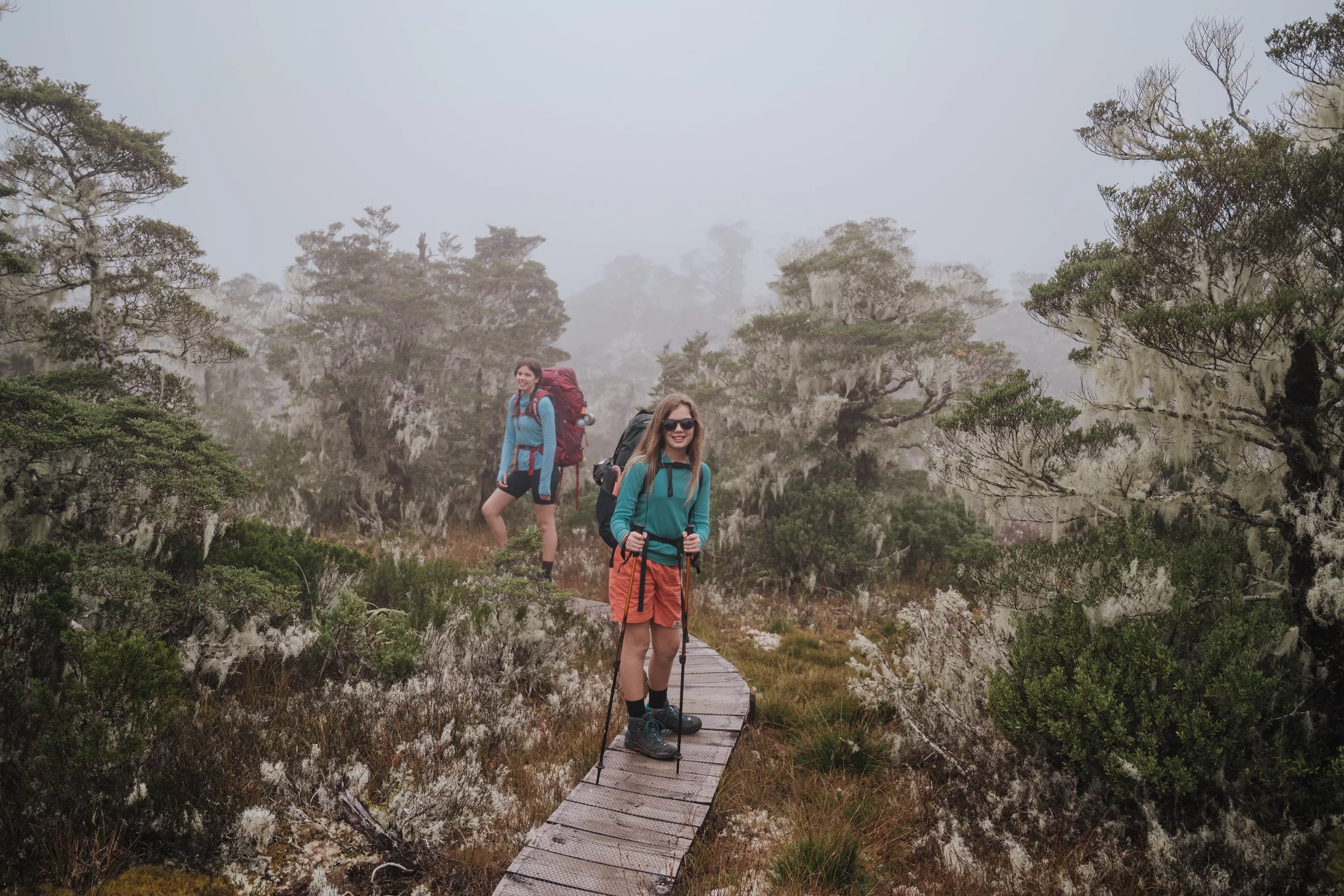
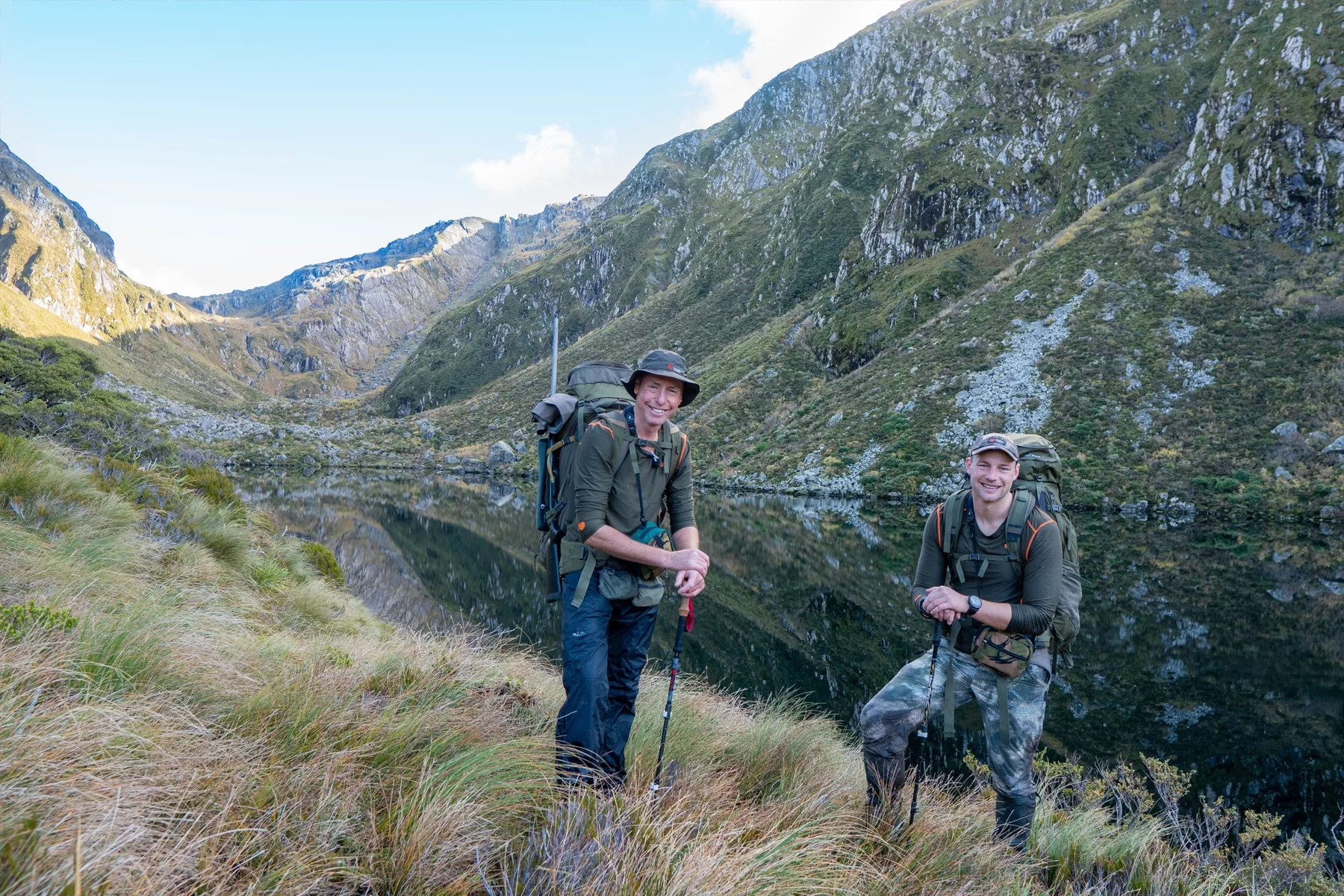
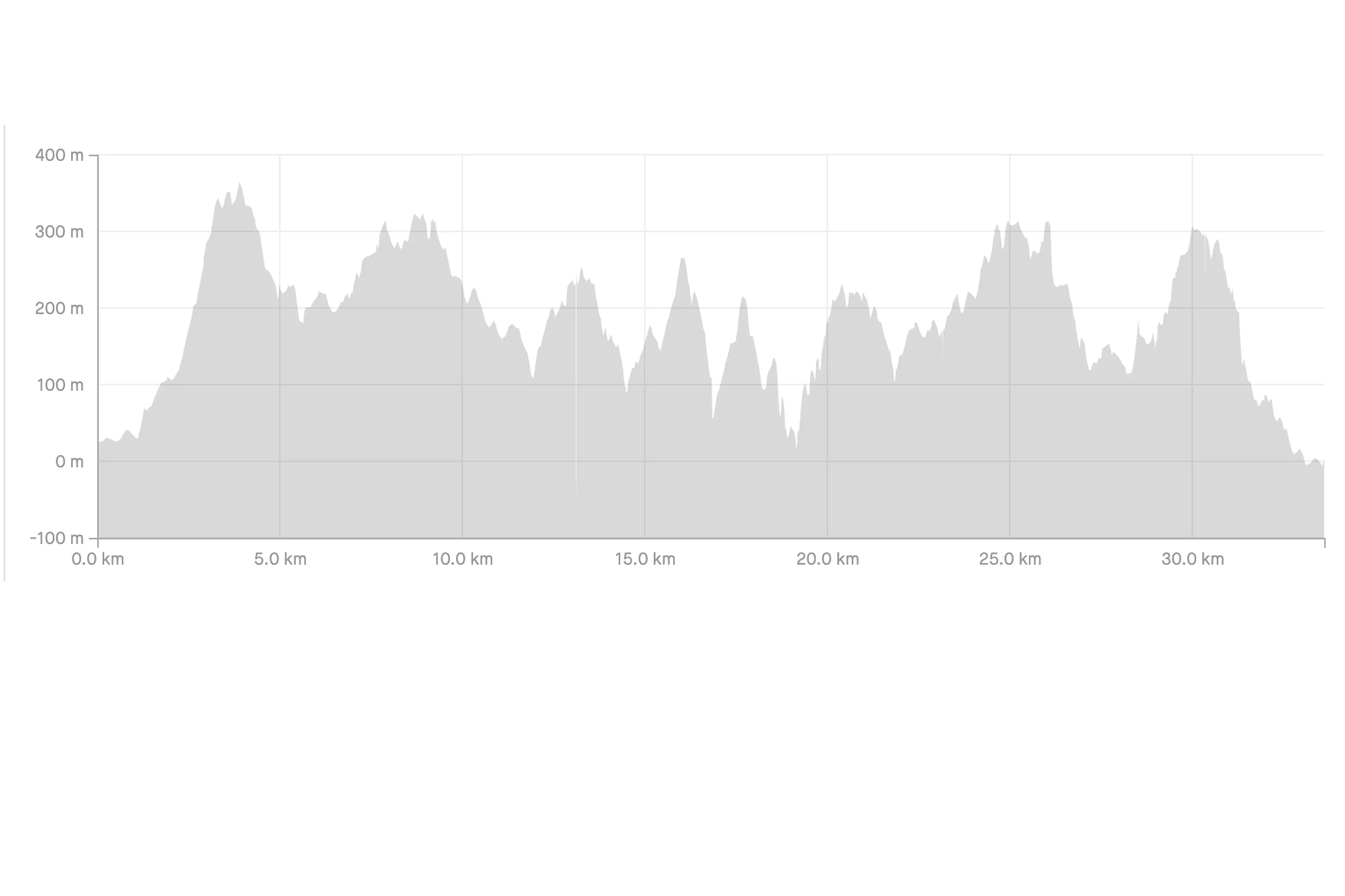
The track to the Cape Brett Hut is 16.3km each way, with what feels like an impossible amount of elevation gain (close to 3000m if you do the full track both ways) despite never being more than 350m above sea level! These steep ups and downs make the track far more tiring than one would expect, and there’s nowhere to top up your water bottles as you go, so you’ll likely have plenty of weight upon your back. DOC indicates that the track will take about 7 to 9 hours each way.
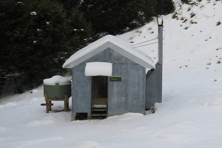
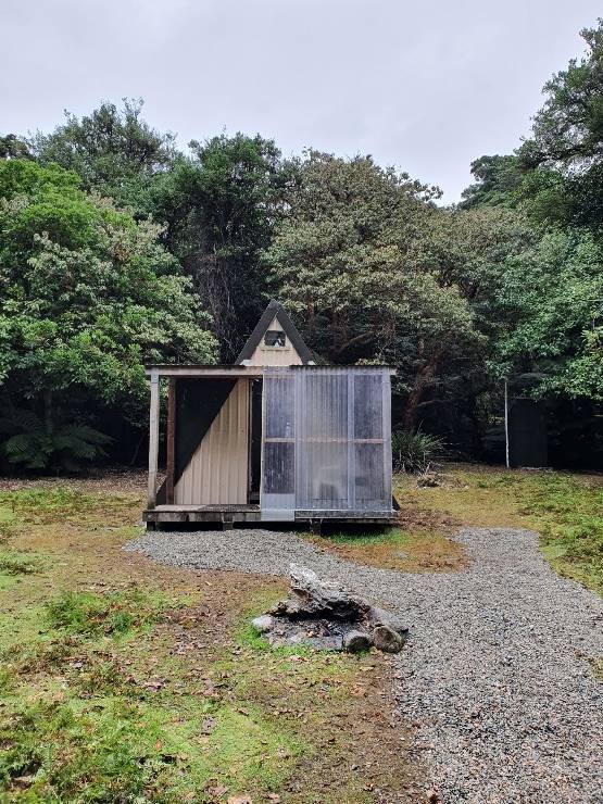
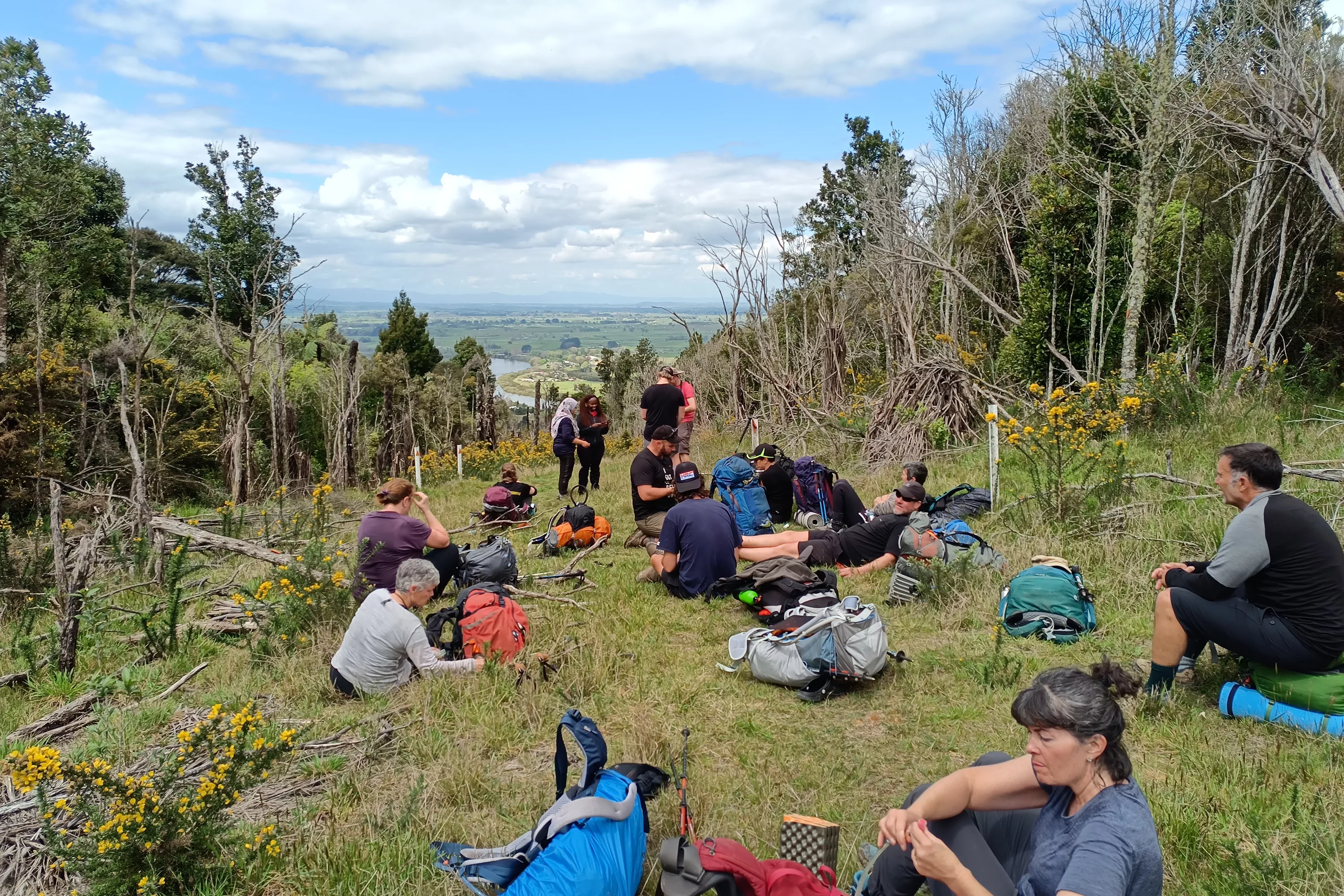
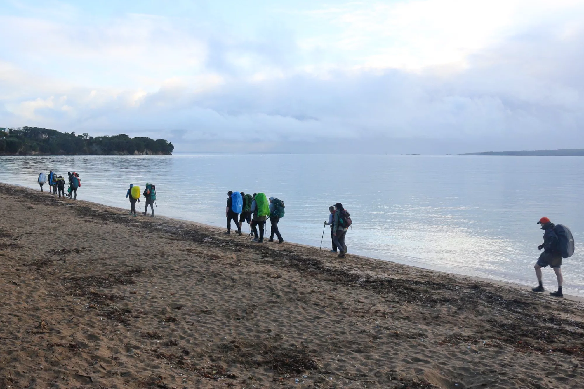
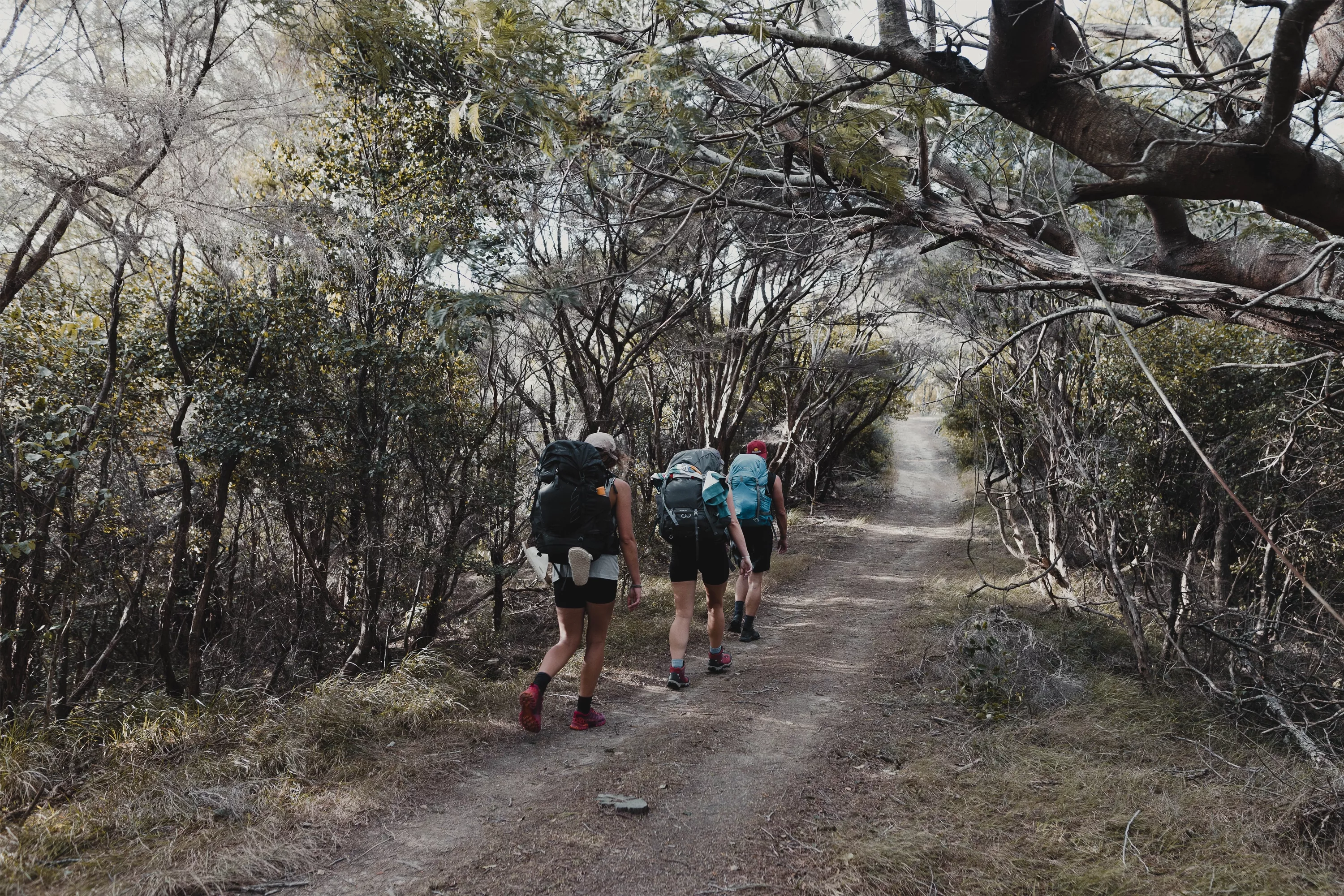
The first 8km of track is a bit of an insight into just how much up and down you’ll encounter throughout the day, though it is the easier half of the day (on the way there!) At this point you’ll encounter a small maintenance hut, with a covered in patio and a picnic table that makes for a perfect spot to stop for a quick lunch and refuel, as the second half of the day has much more elevation gain in store for you. A few kms on from the hut, you’ll see the turnoff to Deep Water Cove, this is often the dropoff point for the water taxi service (which I’ll discuss more of shortly) and a recommended spot to take a turn off and have a swim. However, when we reached this point we were absolutely not feeling up to adding in an extra bit of walking to just have a swim, we just wanted to plod on and get ourselves to the point where we could lay down in bed!
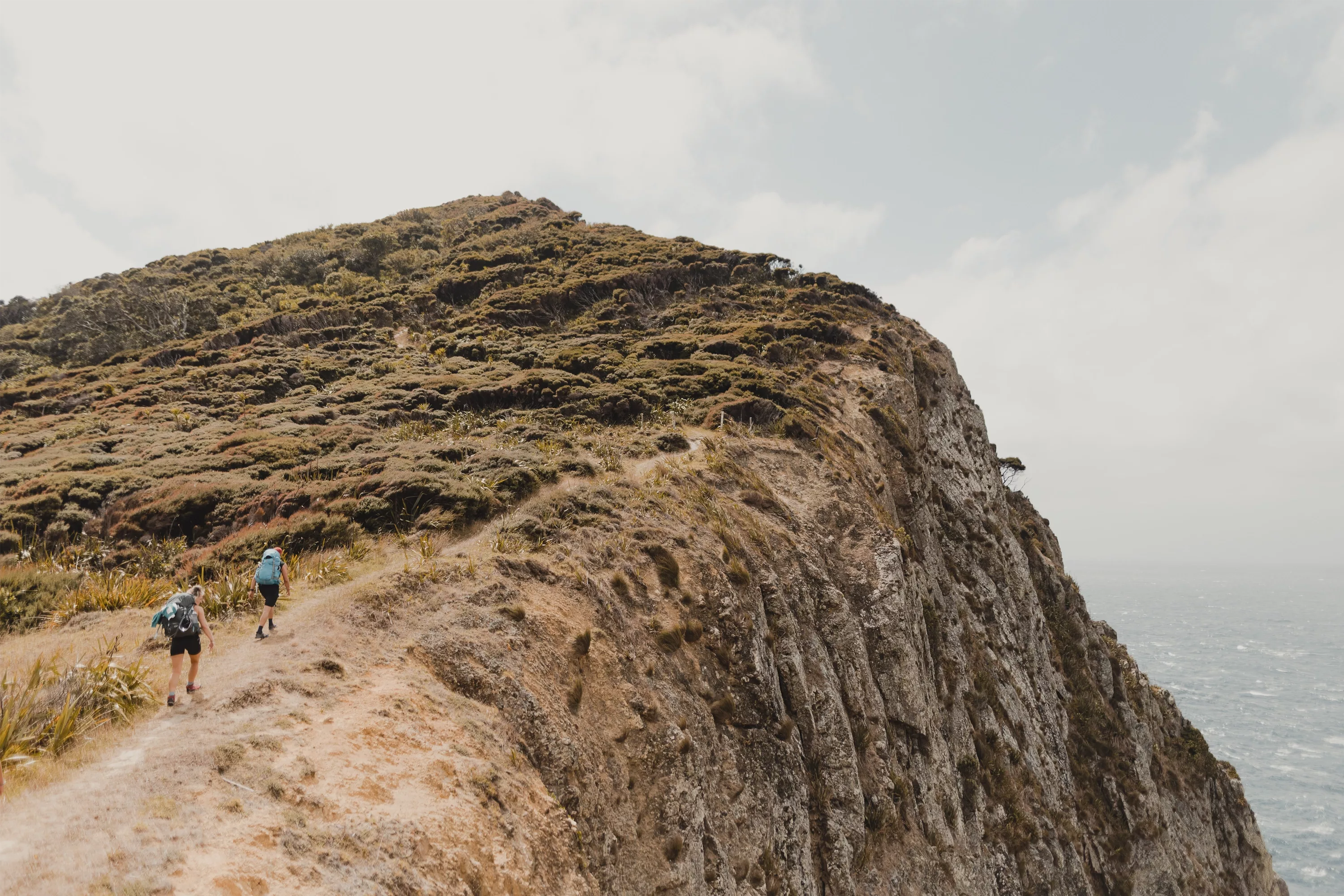
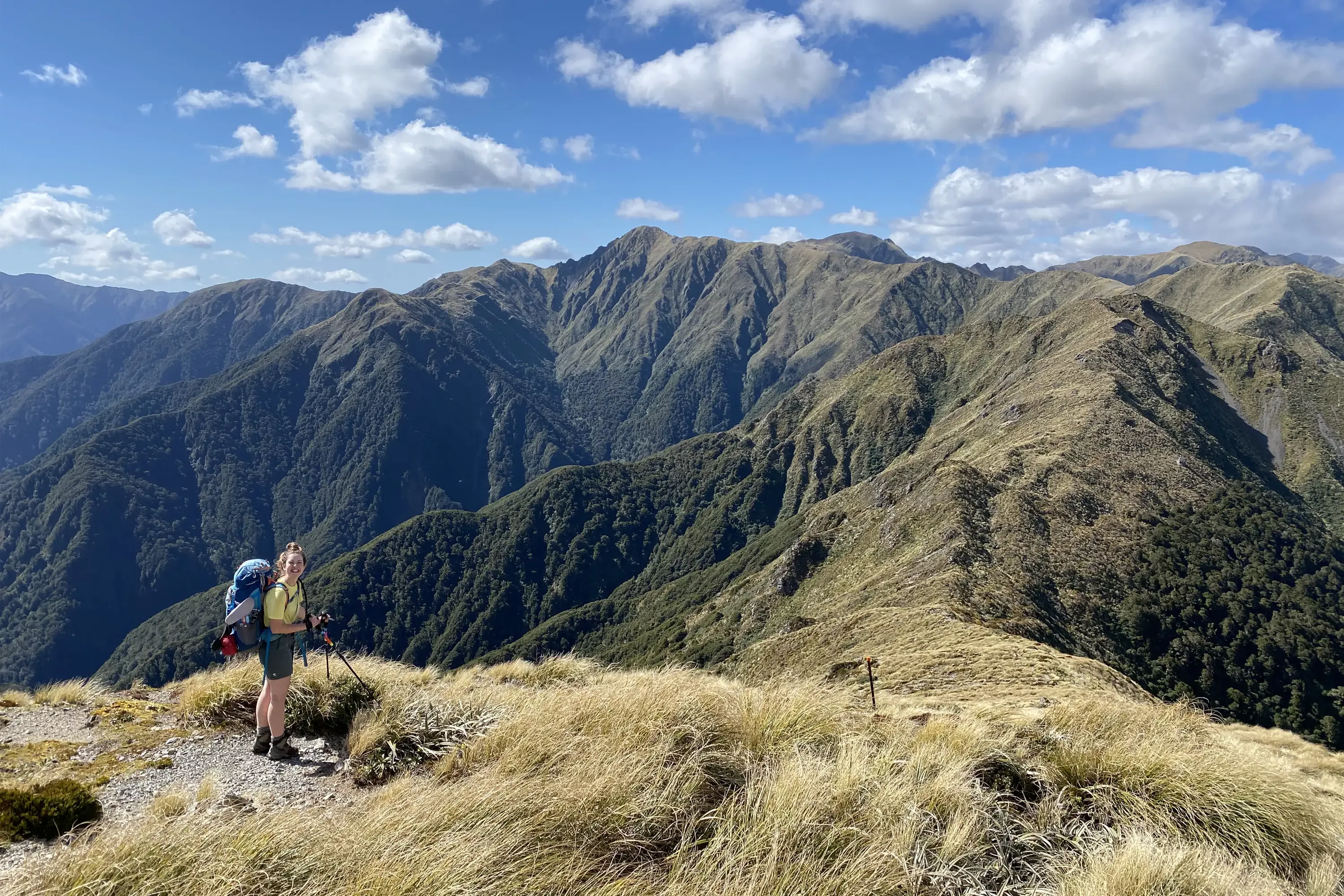
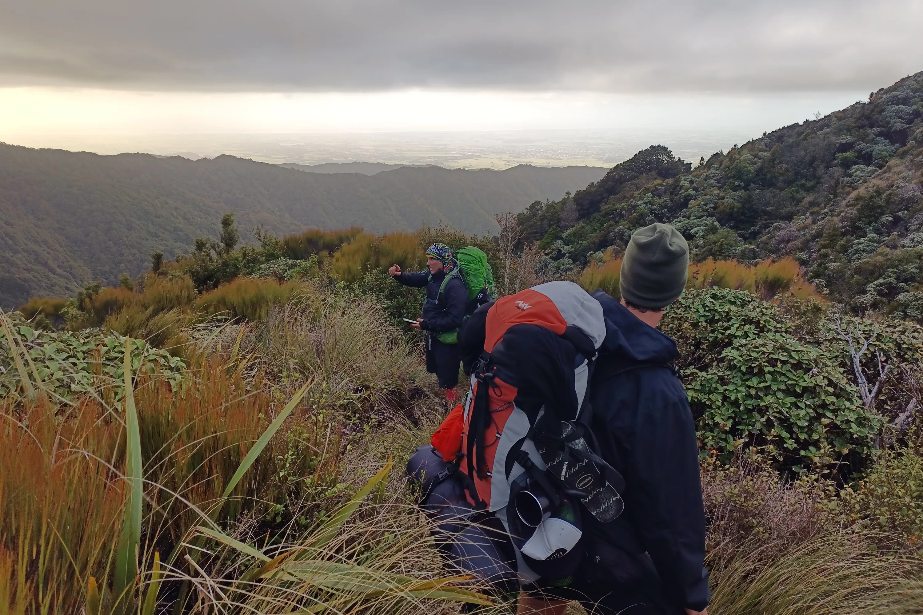
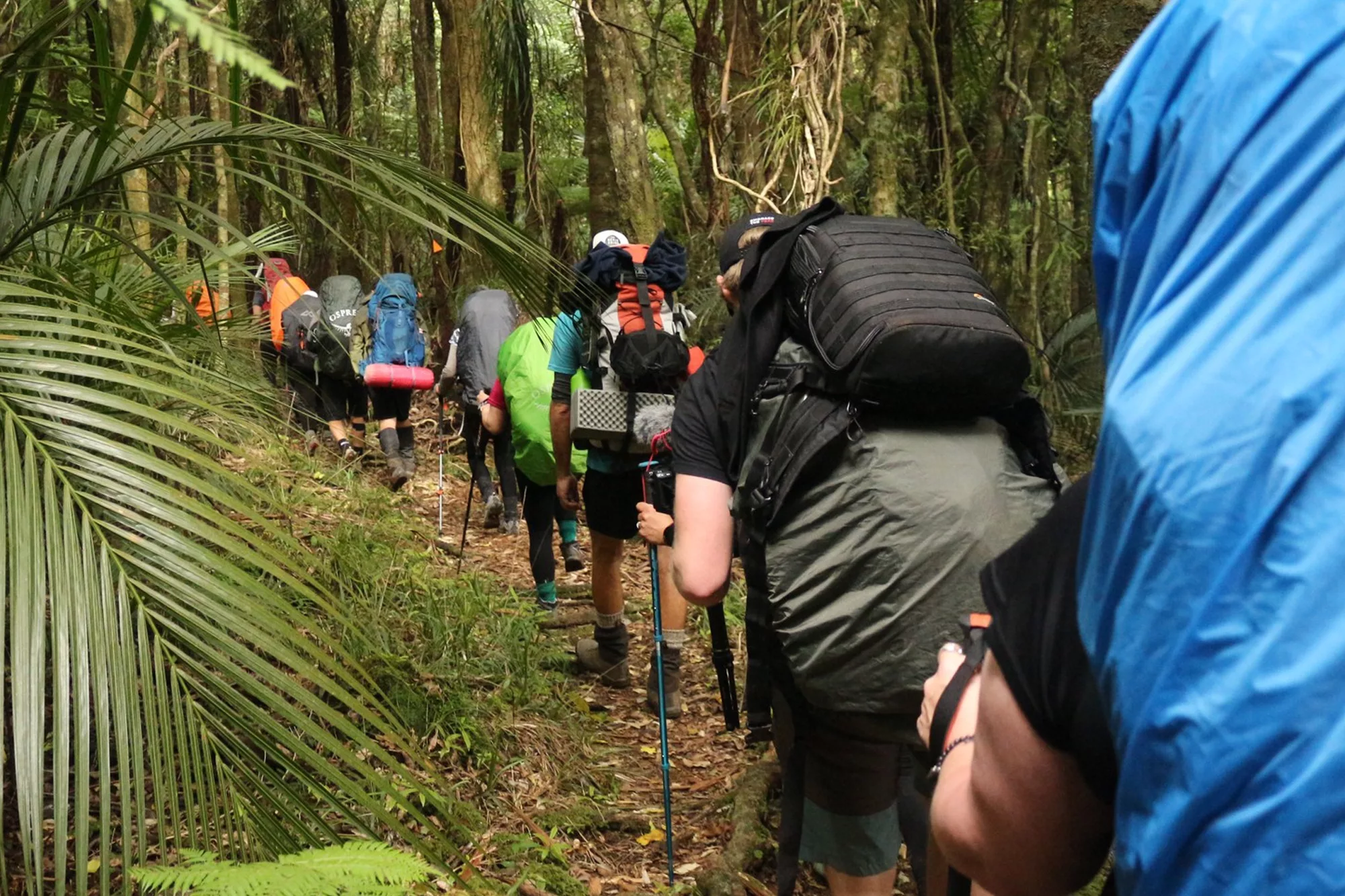
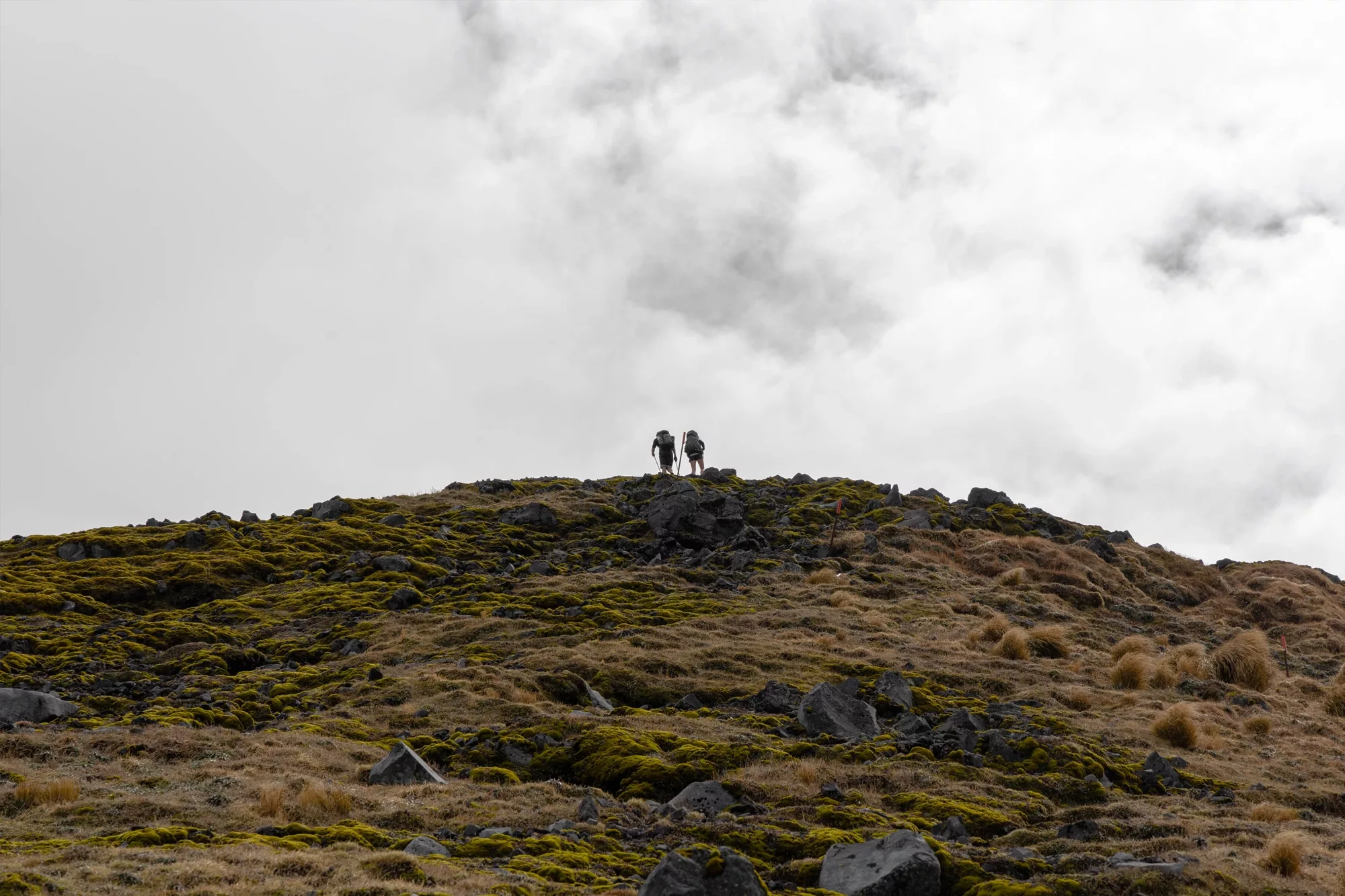
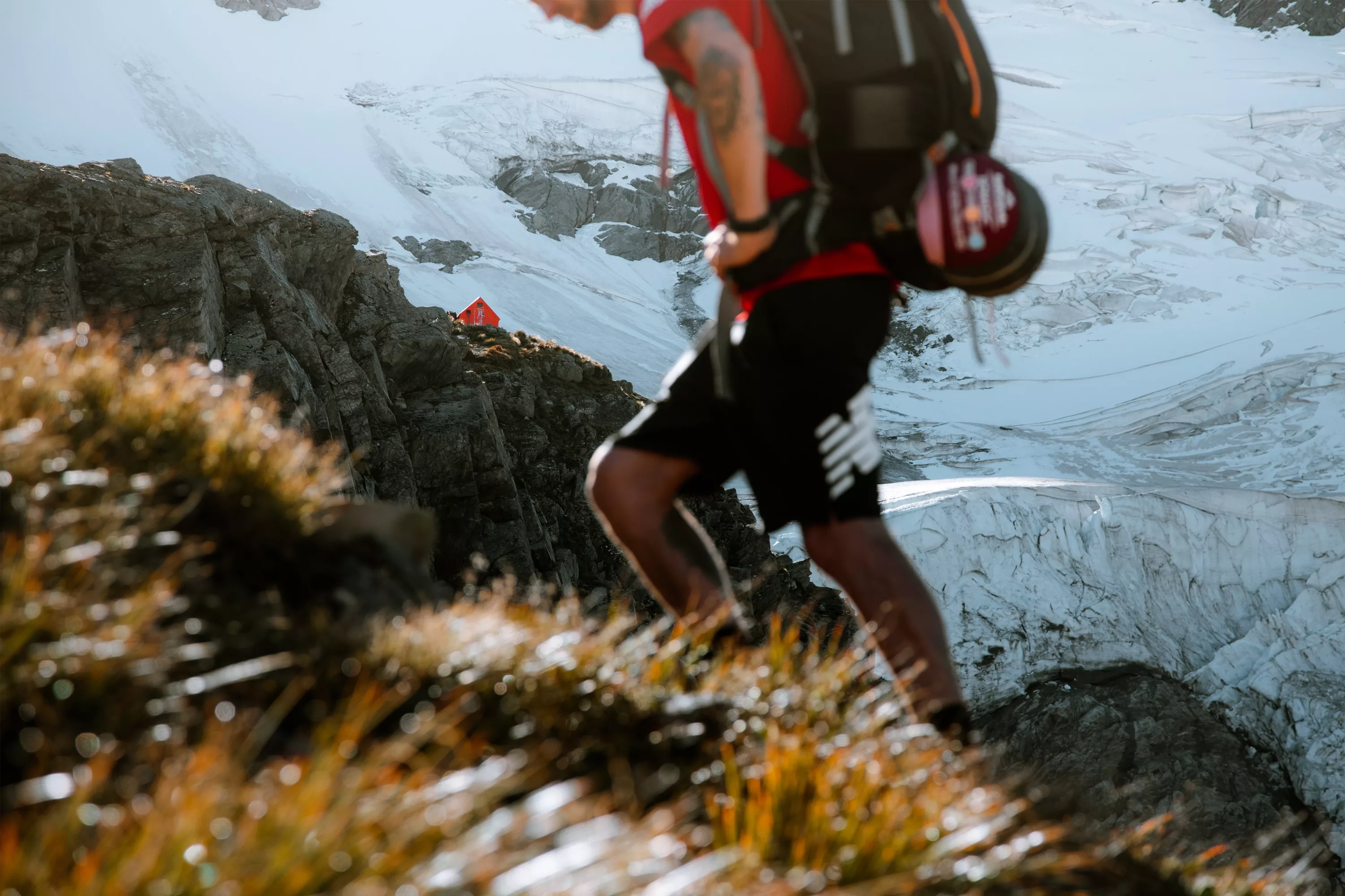
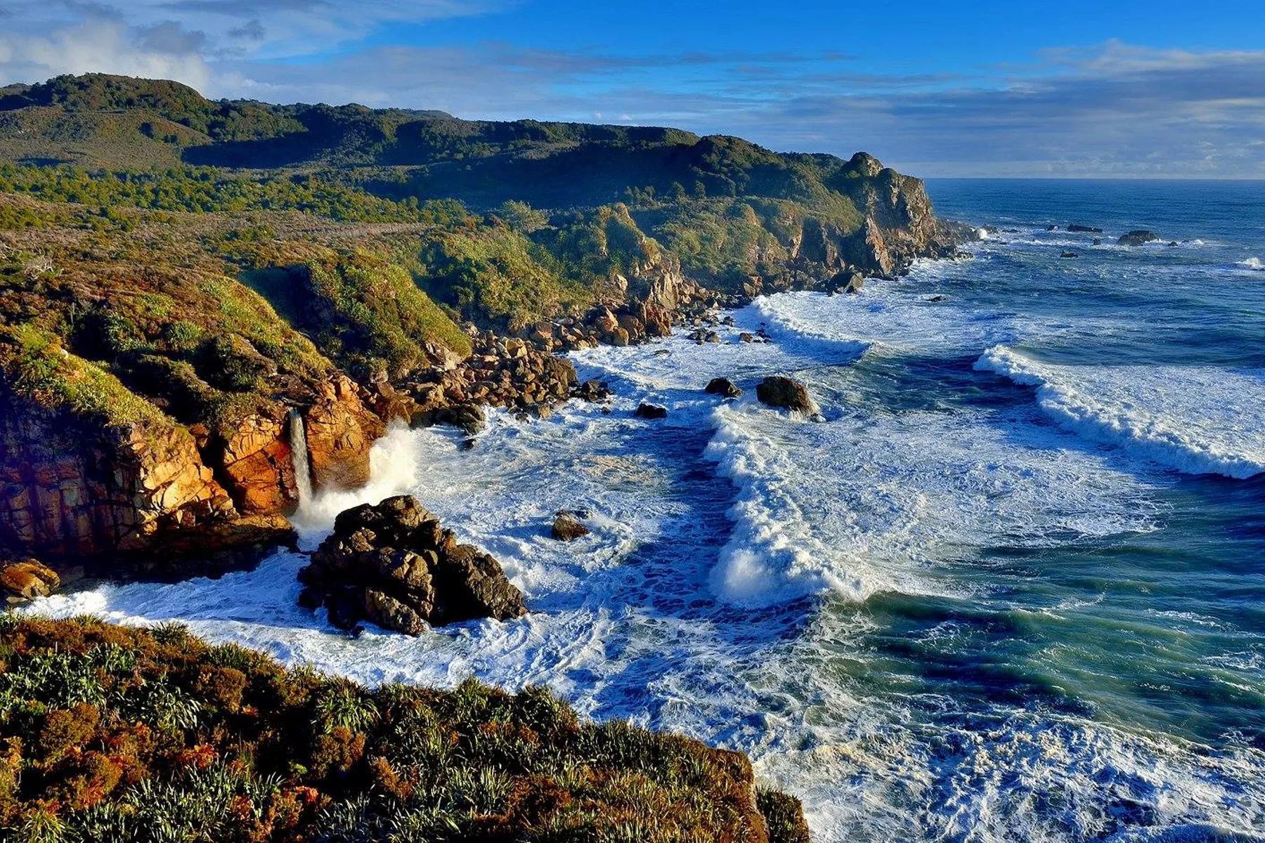
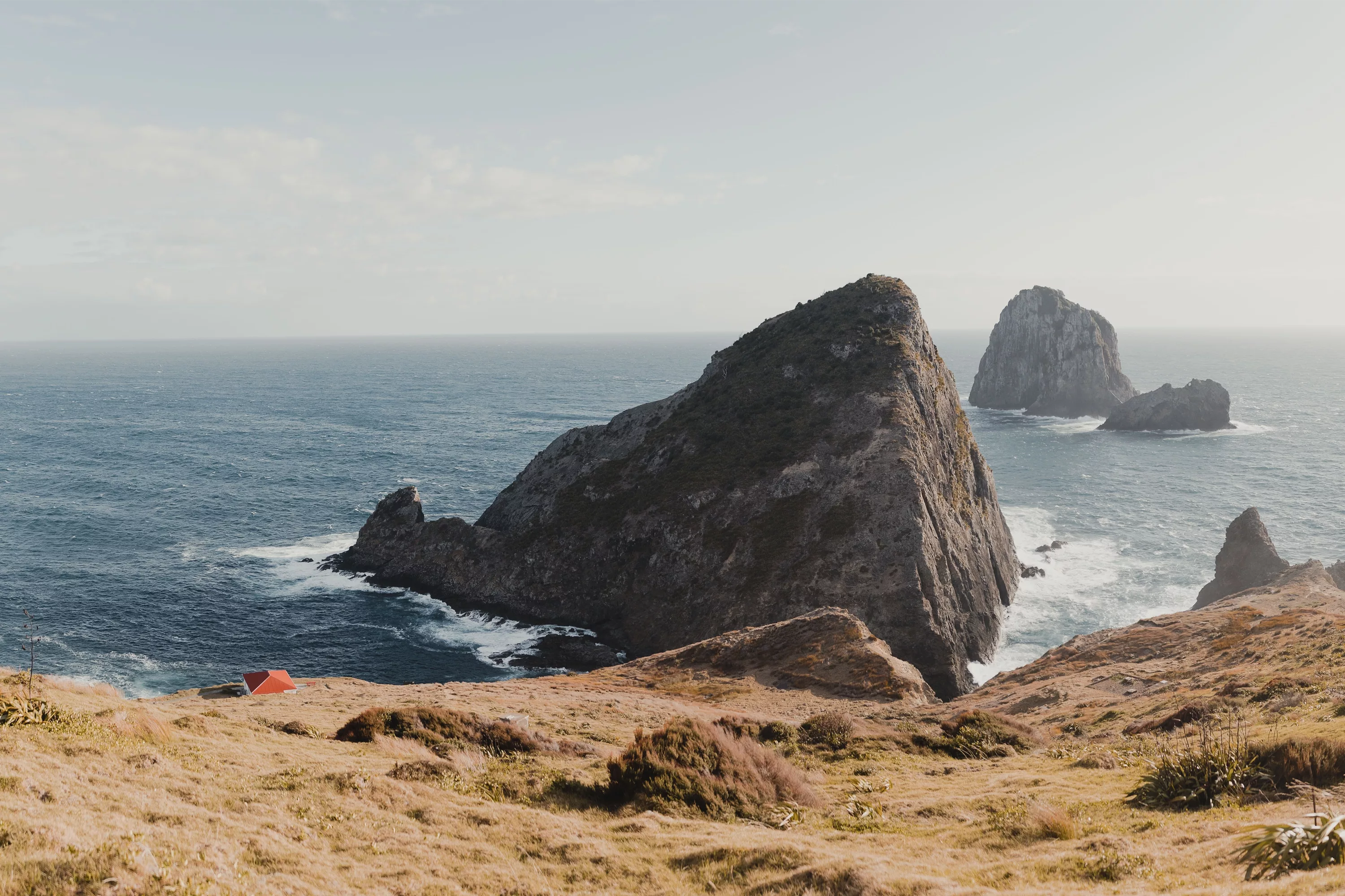
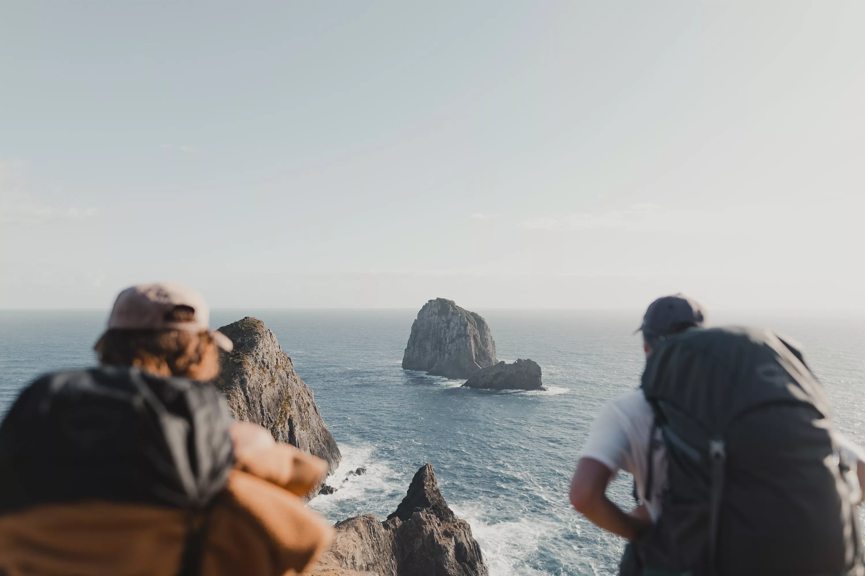
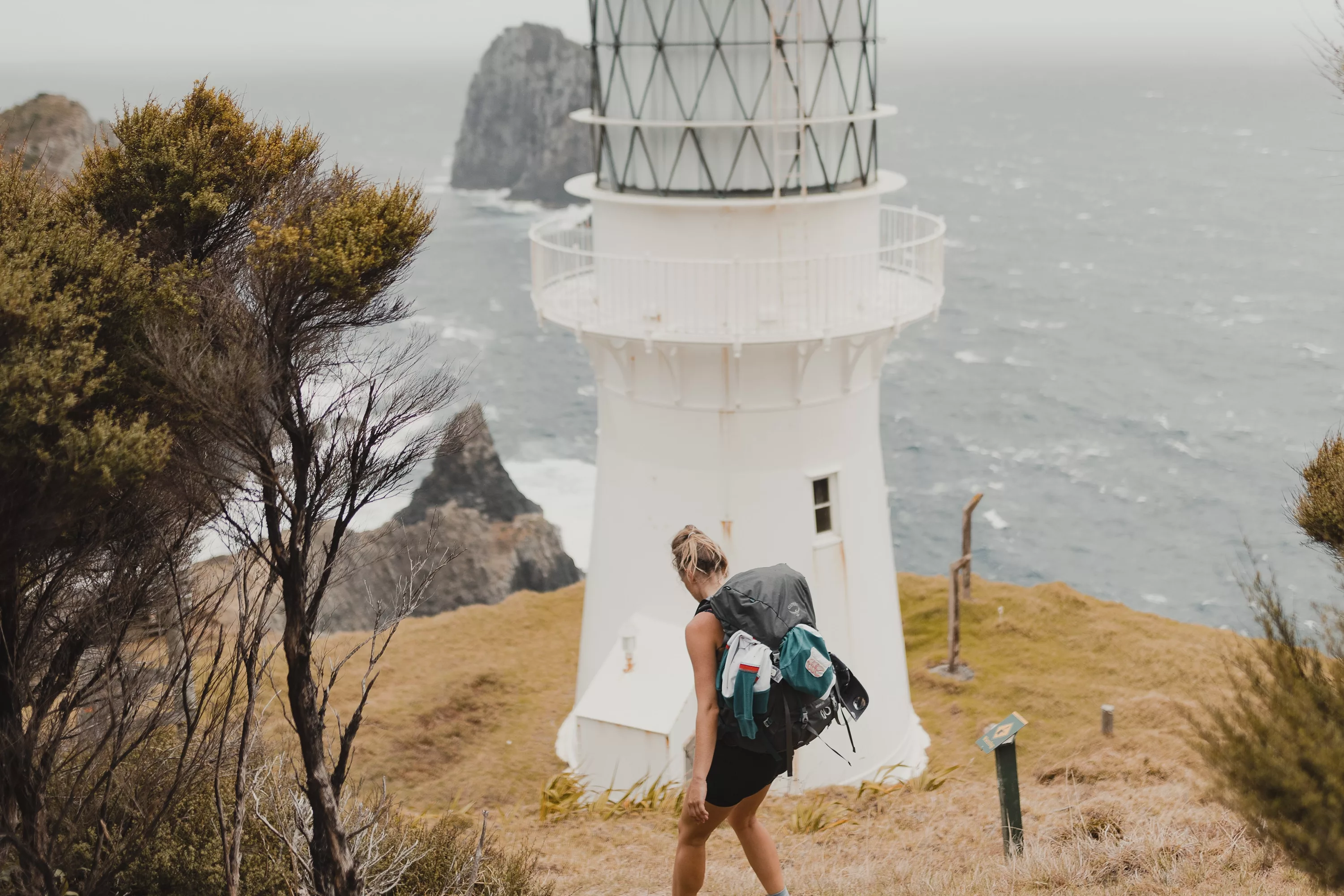
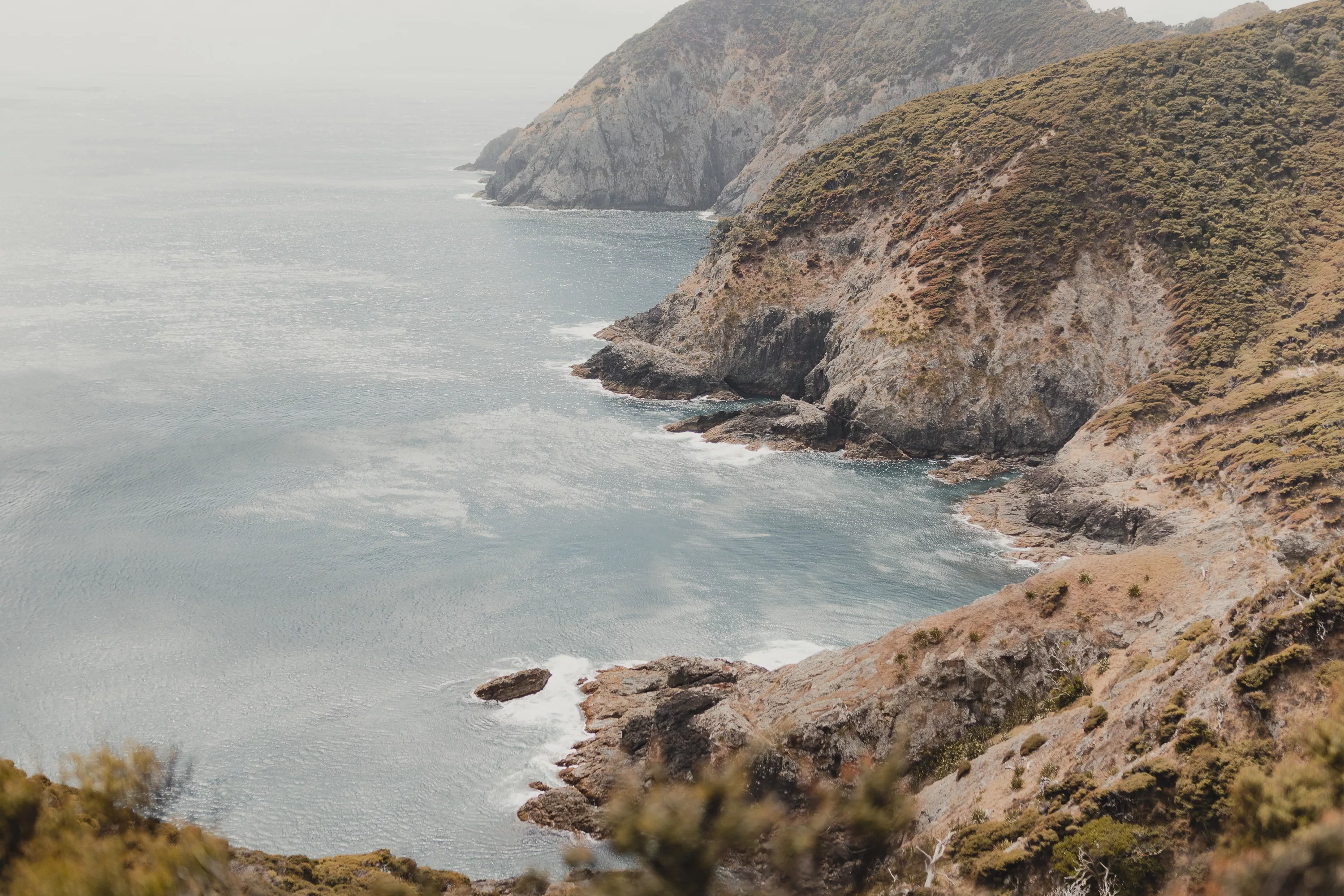
From the Deep Water Cove turn off, the track becomes more rugged, with steep drop offs in places, and (MORE) steep ups and downs. But they views make up for all the hardship you’re putting your legs through. Getting close to the tip of the peninsula you’ll be quite exposed to the steep cliffs on the eastern side, so if you don’t have a good head for heights, make sure you stay well back from the edge, and watch your footing through this area as well. Coming up to the final peak of the day seems to take far longer than you expect, however crossing over the tip to see the Lighthouse on the other side is one of the most satisfying feelings I’ve had while hiking. You know you’re nearly there, yet the hut doesn’t reveal it’s vibrant red roof for a little while longer. The views of Motukokako, Otuwhanga and Tiheru standing heroic against the raging sea will take your breath away (if you still have any left) and the vast openness of the Pacific Ocean stretching as far as the eye can see is truly humbling.
Arriving at the hut is a feeling like no other. With picnic tables out the front with impeccable views, and the tip of the peninsula with it’s wharf to explore (once your legs are rested enough to venture out again) enjoying the afternoon in the sun after a hard slog is well earned.
Getting there
Coming from the South, the closest big town to the Cape Brett Walkway is Whangārei, from here you’re looking at close to an hour and a half to drive through to Rawhiti, turning off at Whakapara. There is a little bit of gravel road along the way, so be prepared for that. If you’re coming from the North, the easiest route through from Paihia is to catch the ferry over the estuary from Opua and onwards to Rawhiti from there. In a standard passenger vehicle, the ferry costs about $20, and paying by card is an option. Otherwise you can drive around the estuary, but it is a particularly gnarly gravel road, turning off just before Kawakawa. The closest town to the trailhead of the Cape Brett Track is Rawhiti, here you’ll find a couple of safe places to leave your car for the night, as leaving it on the road is not particularly recommended. You have Julie’s Place at 253 Rāwhiti Road, Rawhiti Marae at 243 Rawhiti Road, or Hartwell’s at 1 Rāwhiti Road. Both of these are $10 for the night, and run on an honesty box (at the time of writing this) so bring some cash with you! From parking at either of these you’re looking at about a 15 min walk to the start of the trail at Oke Bay.
When to hike Cape Brett
Summer - In summer there’s plenty of daylight hours, the sun rises early and sets late. However, the days out there are HOT. The ground has a tendency to reflect the heat, and the Manuka traps it in and keeps it scorching. The ground will likely be dry and dusty, but summer storms can change that rapidly.
Autumn/Spring - The daylight hours will be slightly shorter, but the temperatures will be cooler as well. I’d recommend looking into October or November, as they tend to have the lowest amount of rainfall on average.
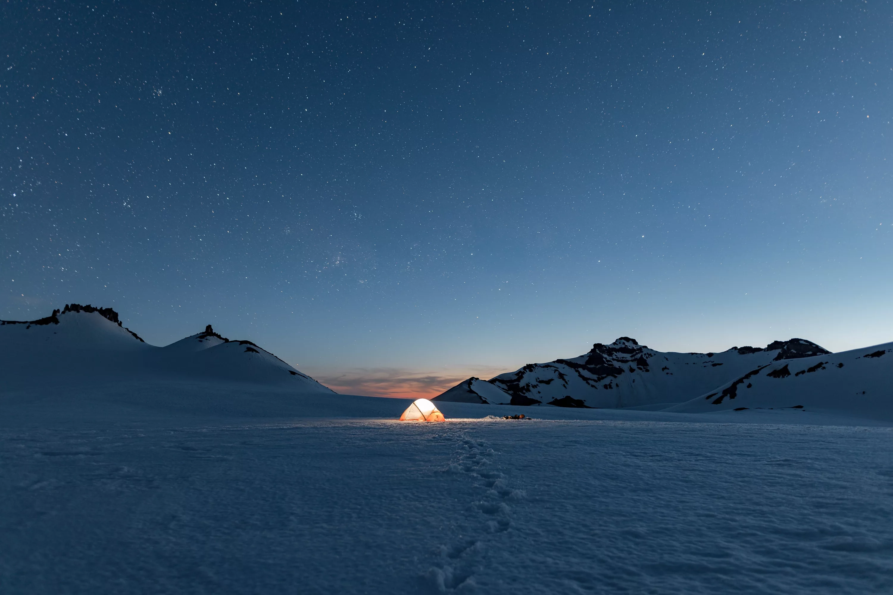
Winter - With the shortest daylight hours and the highest amount of rainfall, you’ll have to be quite picky with your dates if you want to attempt the Cape Brett Walkway in winter. The track will likely get quite muddy and rutty, and you’ll want to make sure you can make the most of the daylight hours that you have while you’re out there. You’ll want to be able to at least enjoy watching the sunset while you’re making the effort to get there! Though the winter does allow conditions for astrophotography if you’re into that, which is seldom seen from the Cape.
Water Taxi
One of the hidden secrets of the Cape Brett Walkway is the water taxi that runs to and from Deep Water Cove Daily. We found ourselves at the hut, contemplating whether or not we should hop on the water taxi back to Rawhiti, instead of opting to walk the whole way out, because of how much more difficult the walk was than we expected. If I were to do Cape Brett again, I’d personally look into catching the water taxi out to Deep Water Cove, then walking back the full day, so to have a heavier pack on the shorter day, and a lighter pack on the longer day. The fare for the water taxi is $40 per person, or a minimum of $200, so make sure to co-ordinate this with the rest of your party, or see if there are others interested on the same dates as you’re going.
Important Info
- Bookings are required for the Cape Brett Hut and no camping is allowed on the peninsula. $15 for adults, $7.50 for youth. Backcounty Hut passes are able to be used.
- In addition to the hut fee, a permit is required to for the walkway to cross the private land between Oke Bay and Deep Water Cove, this brings the total cost to $40 for the night.
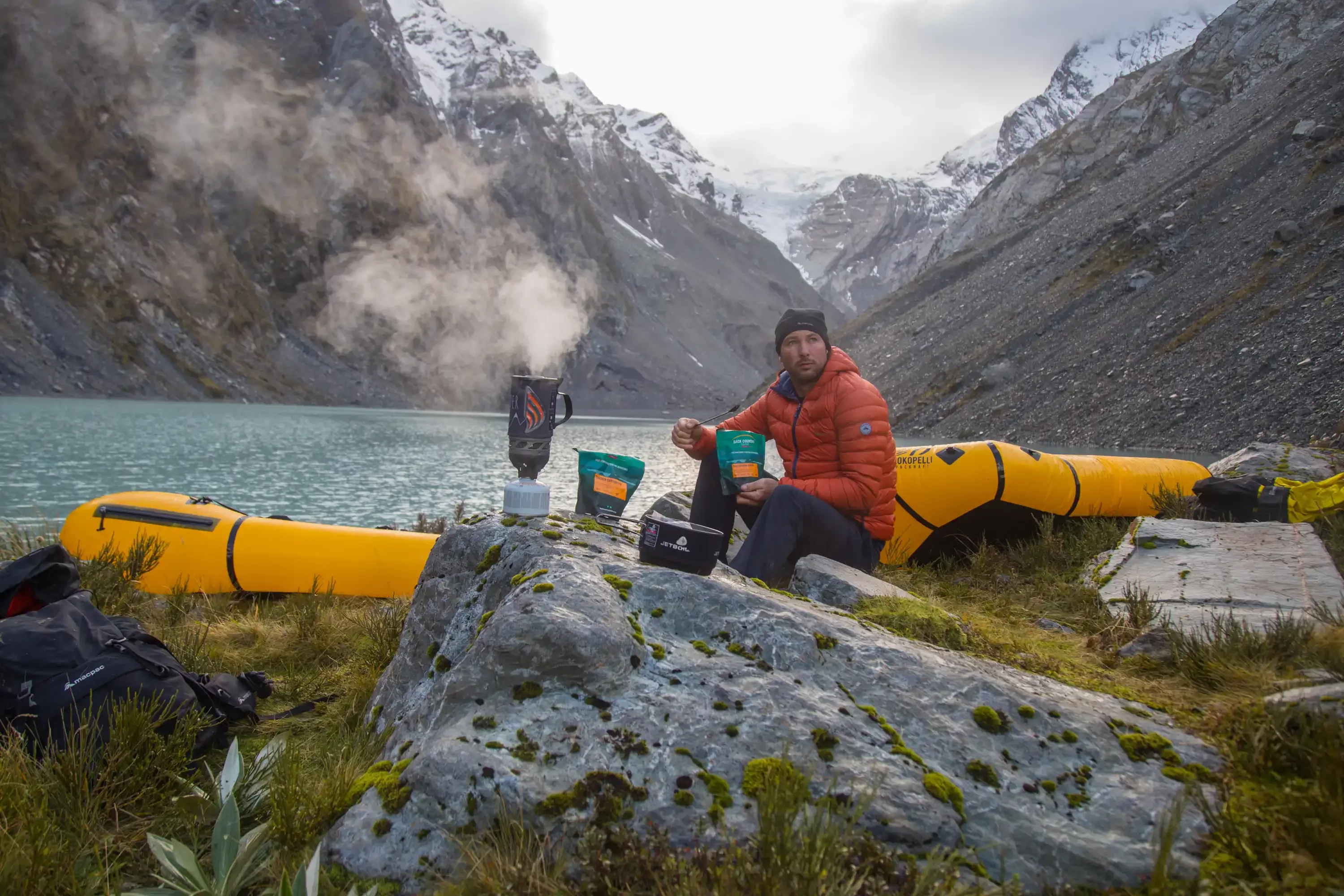
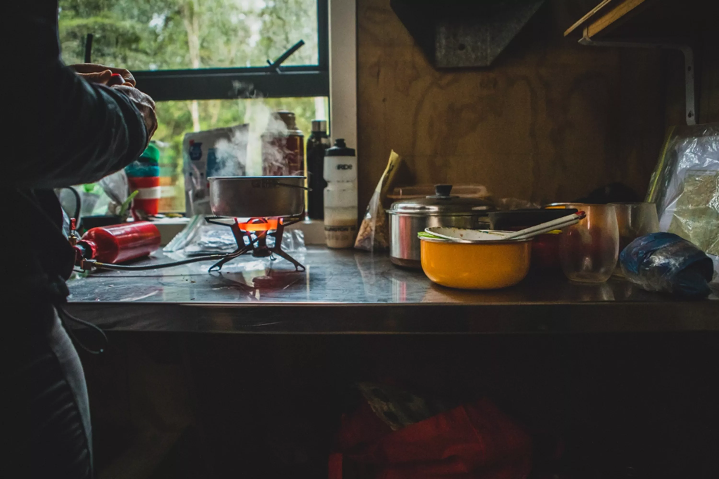
- The hut has gas stoves, but you’ll need to provide your own cooking utensils.
- Due to the remoteness of the hut, in the height of summer there may be no drinking water available at the hut. Make sure you call the DOC office in Paihia prior to your departure so you know if there is water or not.
To keep up to date with our latest blog sign up to our newsletter.