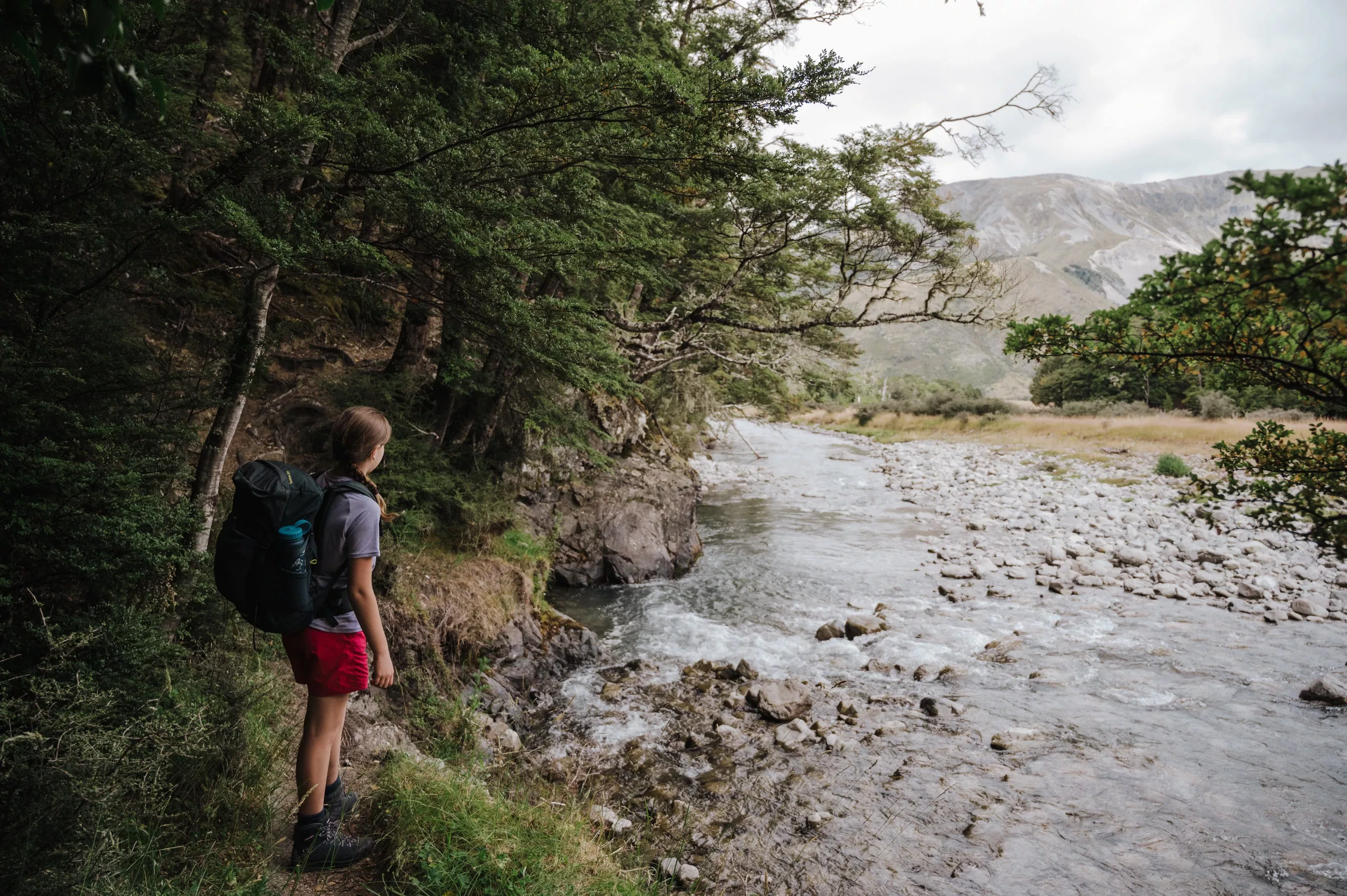
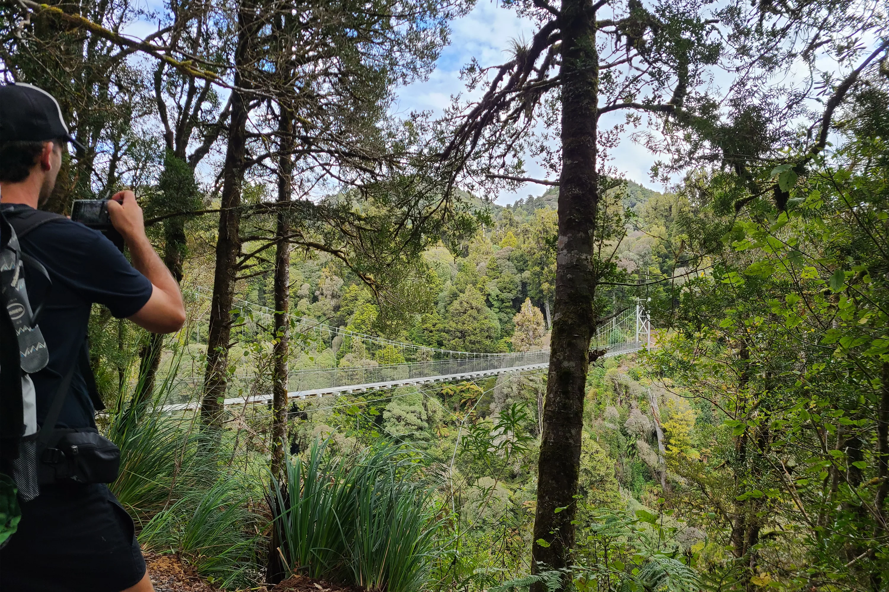
GTGO Te Araroa Stage Five | Tararua Ranges
TARARUA RANGES
Our group left (Auckland) after work on a Thursday, in order to complete this walk across four days (walking Friday-Monday). It is advertised on the Te Araroa website as taking up to six days in poor weather but we hoped for four.
Getting to the track start is a huge drive from Auckland to Levin, which should not be underestimated. It’s worth putting aside a whole day for the drive and a good night’s sleep before embarking on this adventure, but conceptually we were trying to show what every-day Kiwis could achieve with the ‘bare minimum’ of time off work: Friday and Monday, so we drove down Thursday night and arrived early Friday. This was a bit tough on everyone! Flying into Kapiti, or Wellington is another option to save a grueling drive.
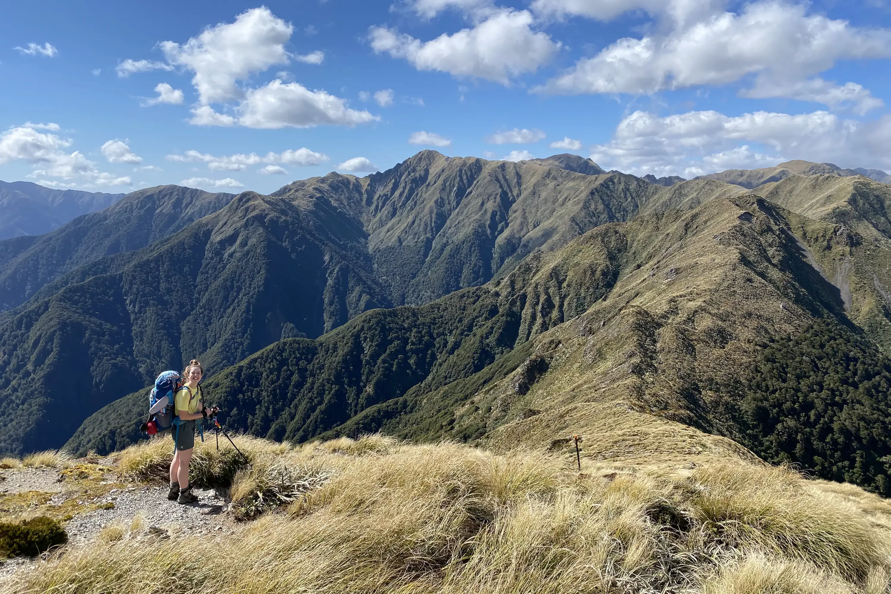
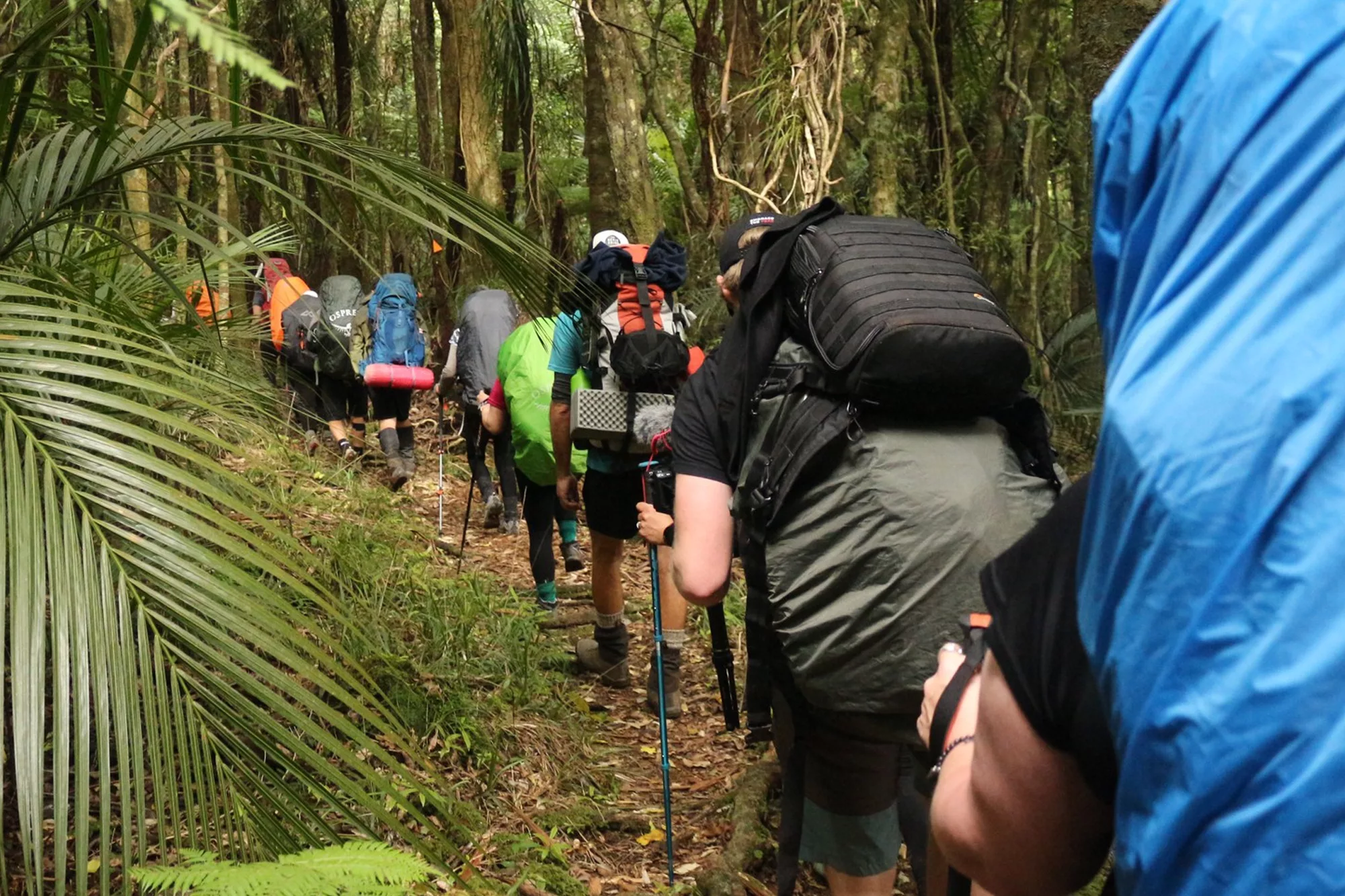
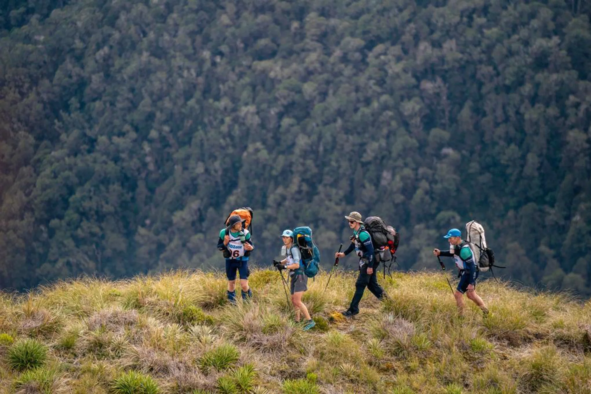
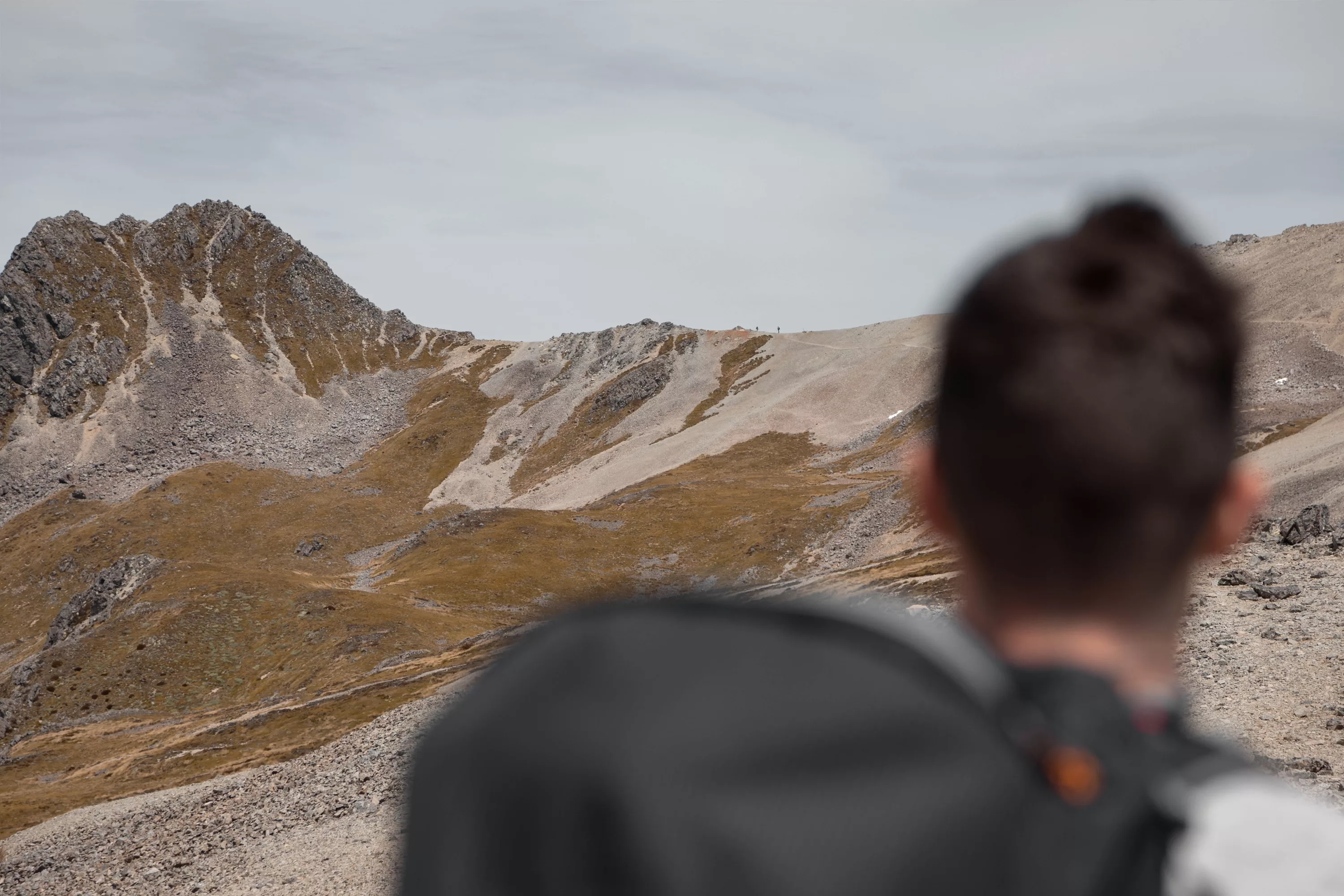
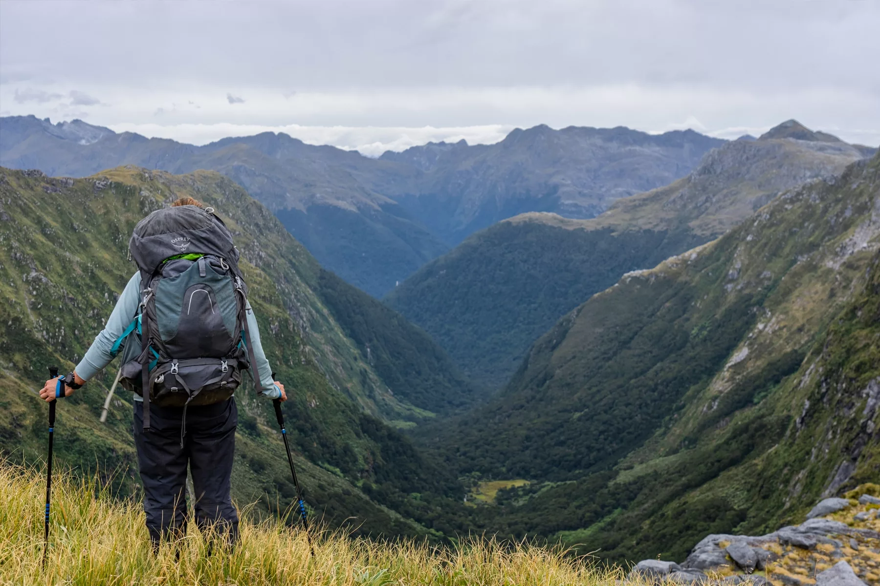
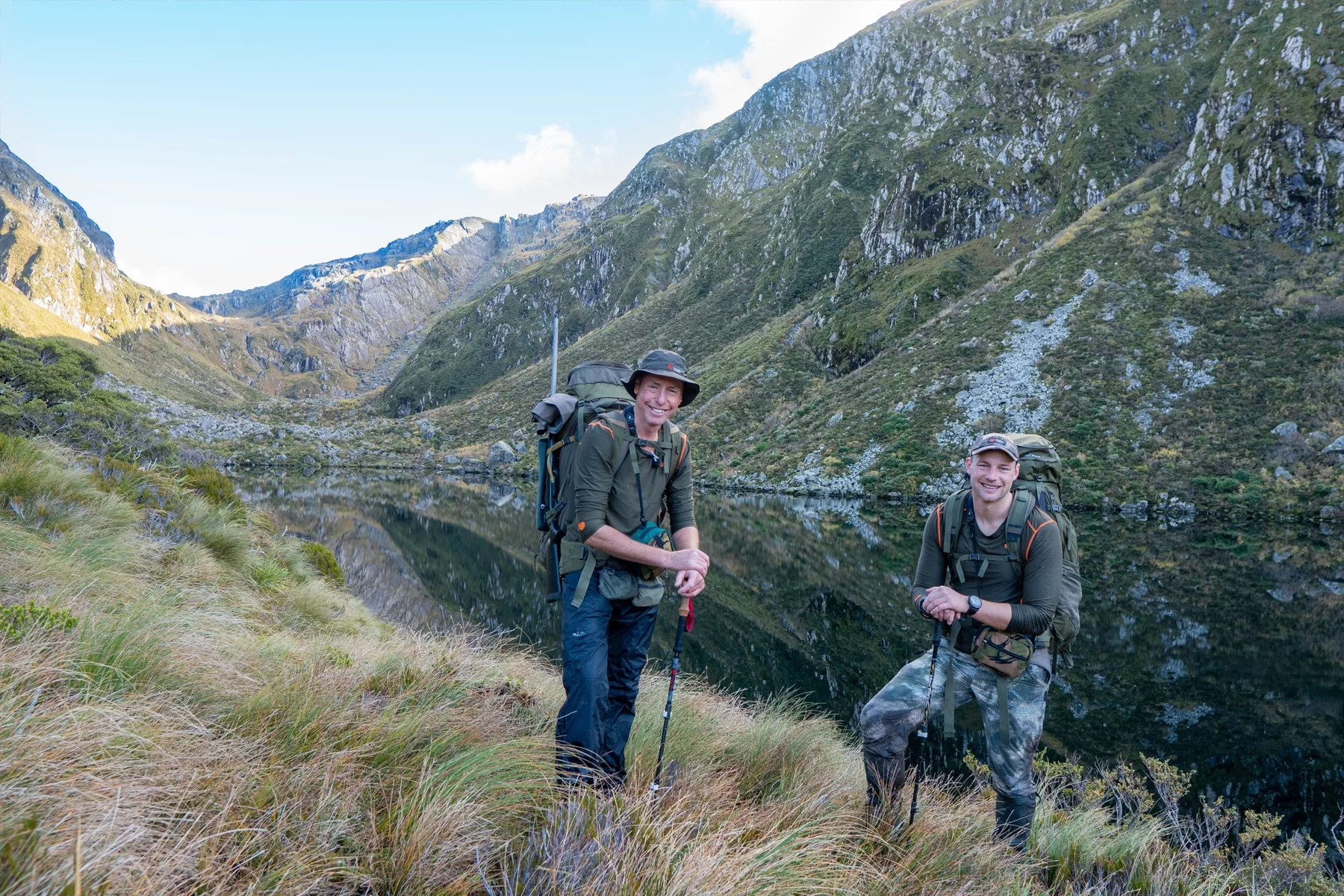
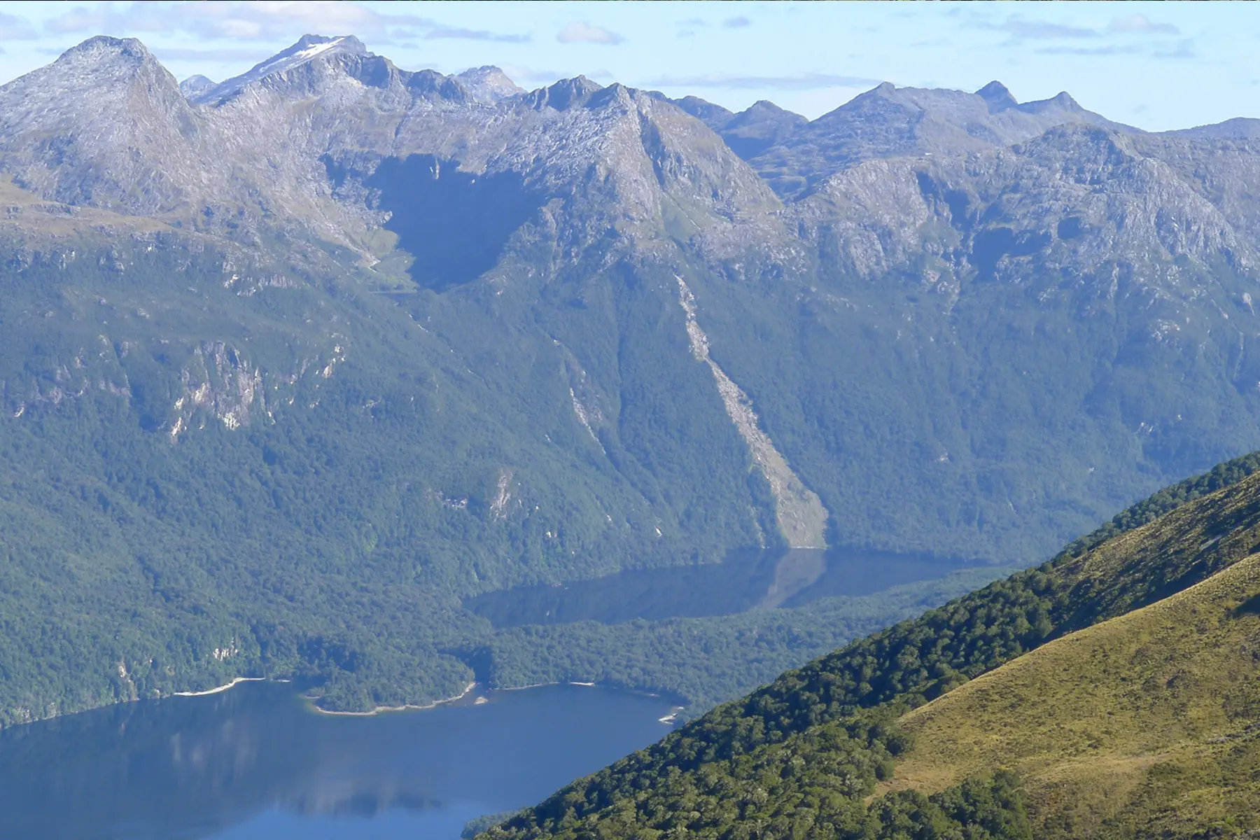
This section of Te Araroa really is challenging, and lived up to the reputation of being the hardest in the whole island, when compared to other sections of Te Araroa we’ve already walked like Mt Pirongia Hakarimata or even Timber Trail. The main challenges are the exposure to wind and elements, fast changing weather, alpine conditions, narrow tracks, and steep ups and downs with long distances between huts and water sources.
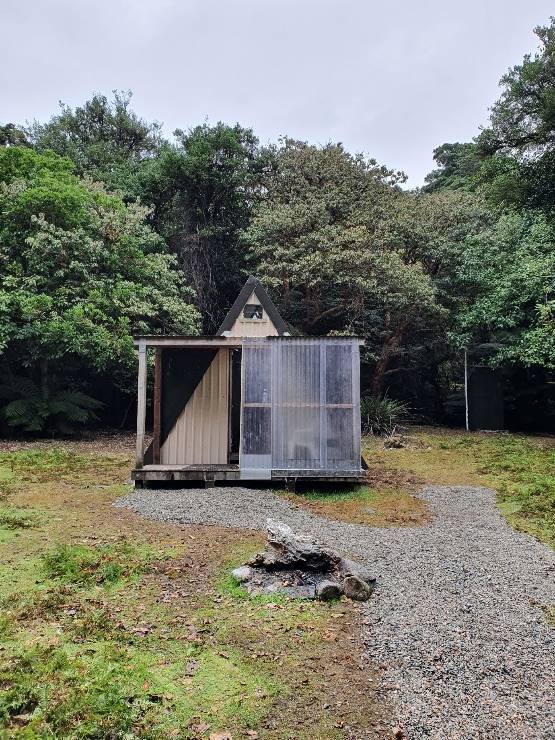
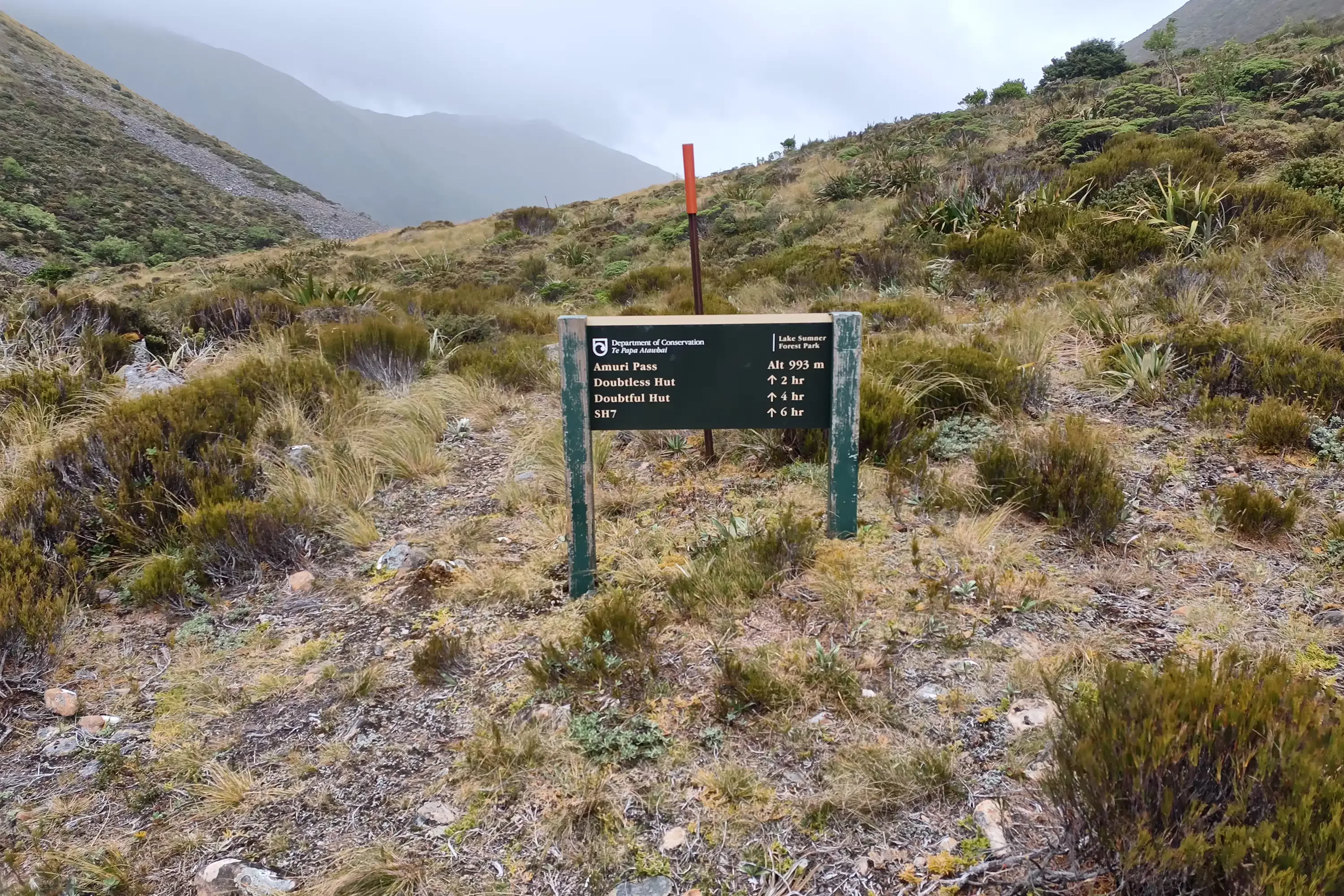
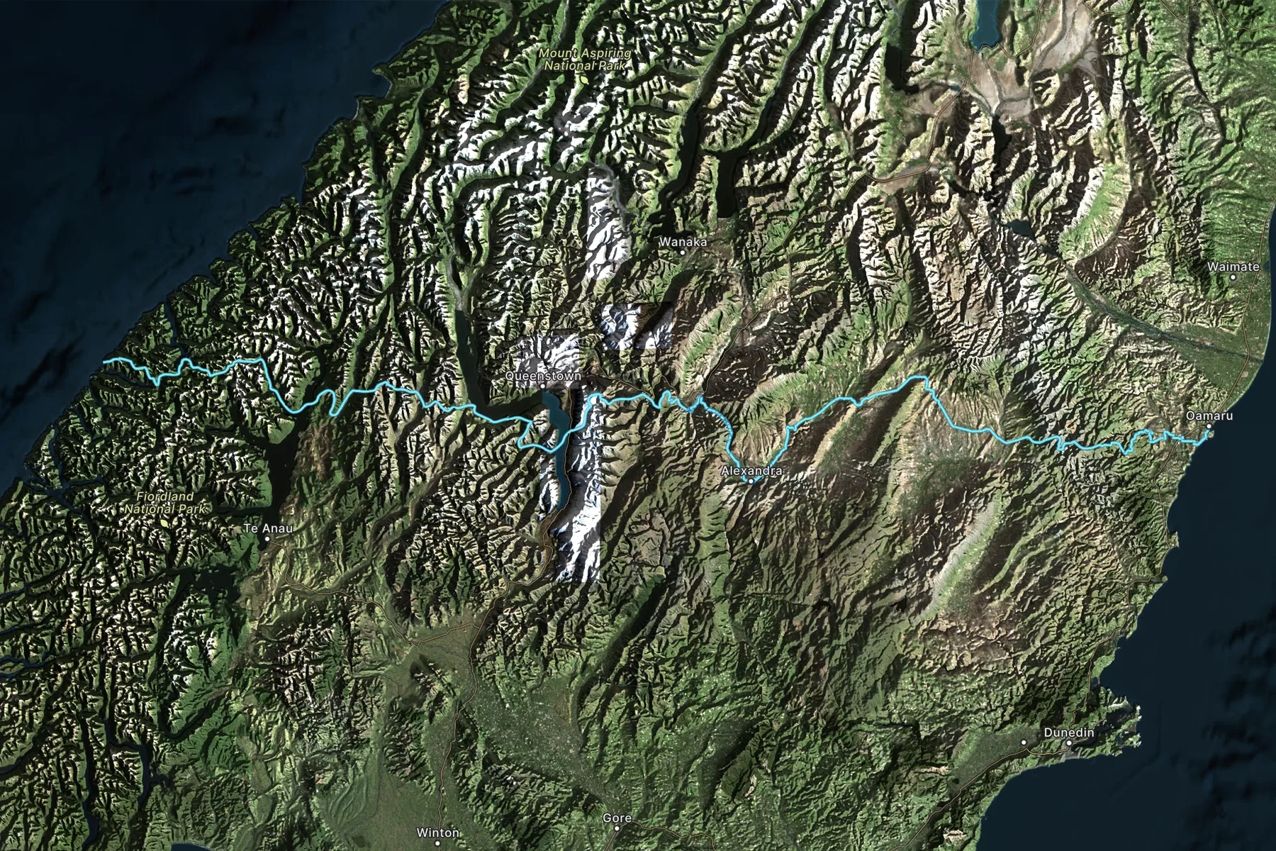
We entered the trail in Levin (Poads Rd) with grand plans of walking to Te Matawai Hut (900m) on day one, via Gable End Ridge. Day two would have been Te Matawai Hut to Nichols Hut, then to Waitewaewae hut, finishing at the Otaki Forks.
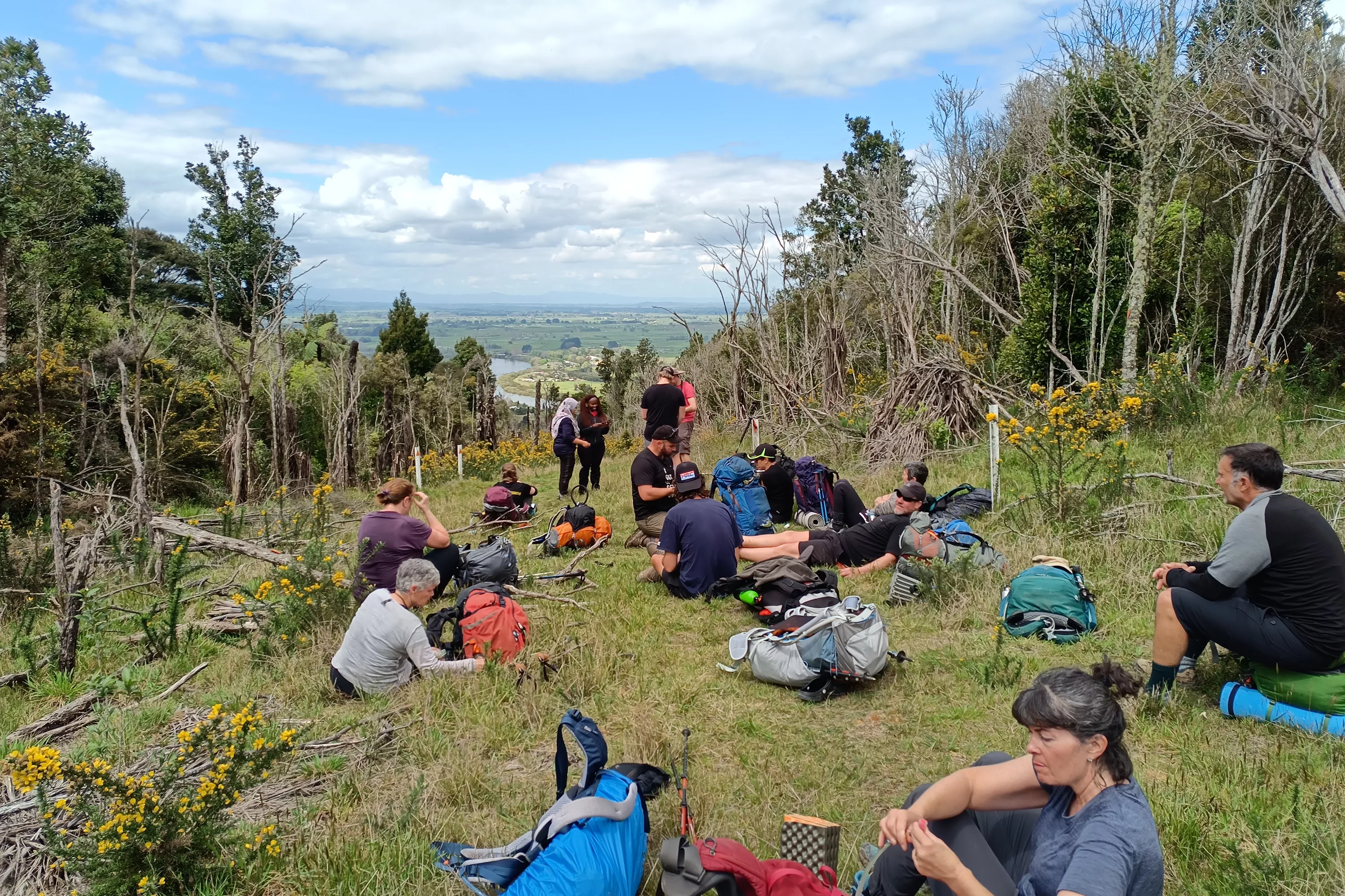
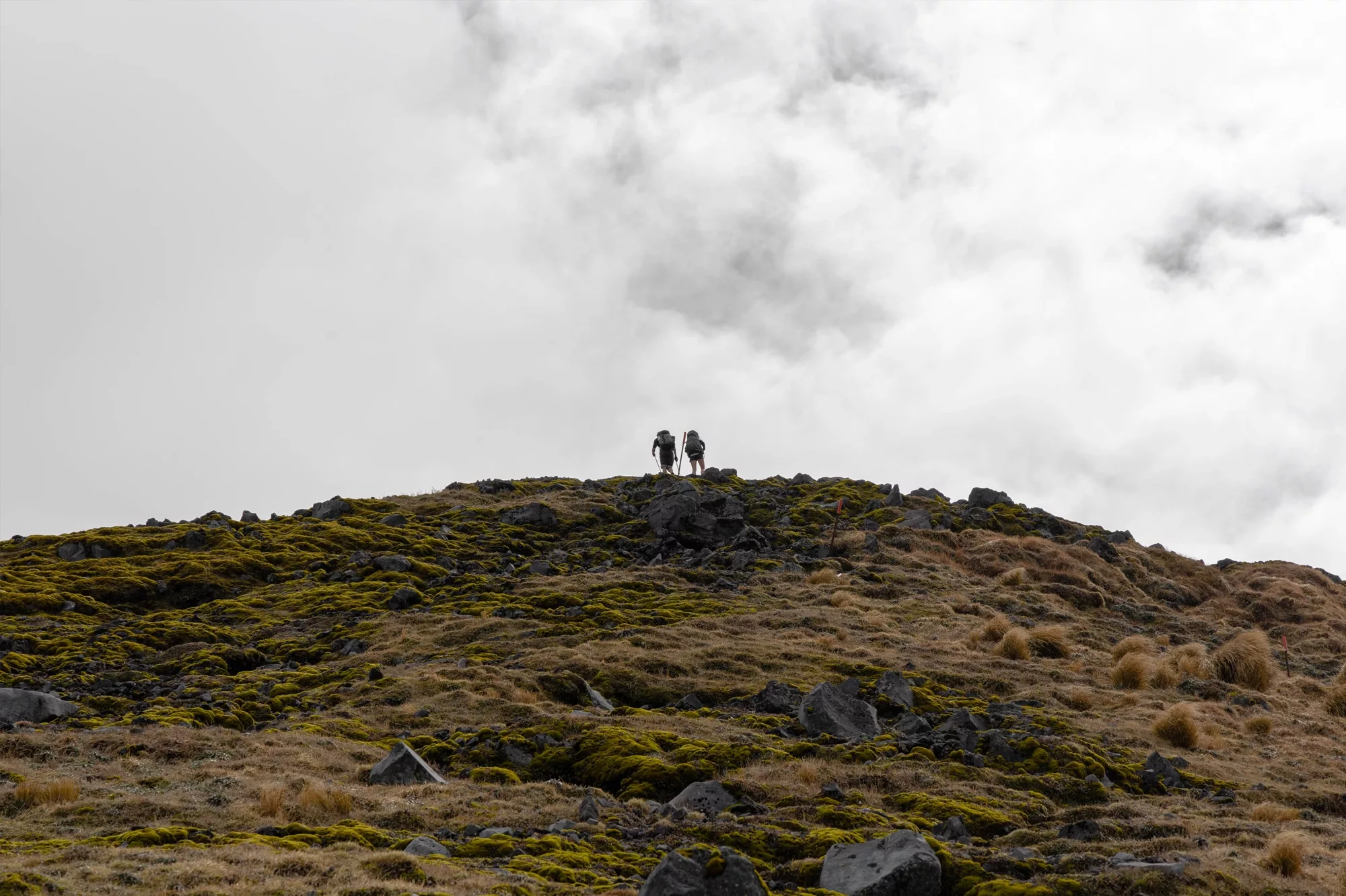
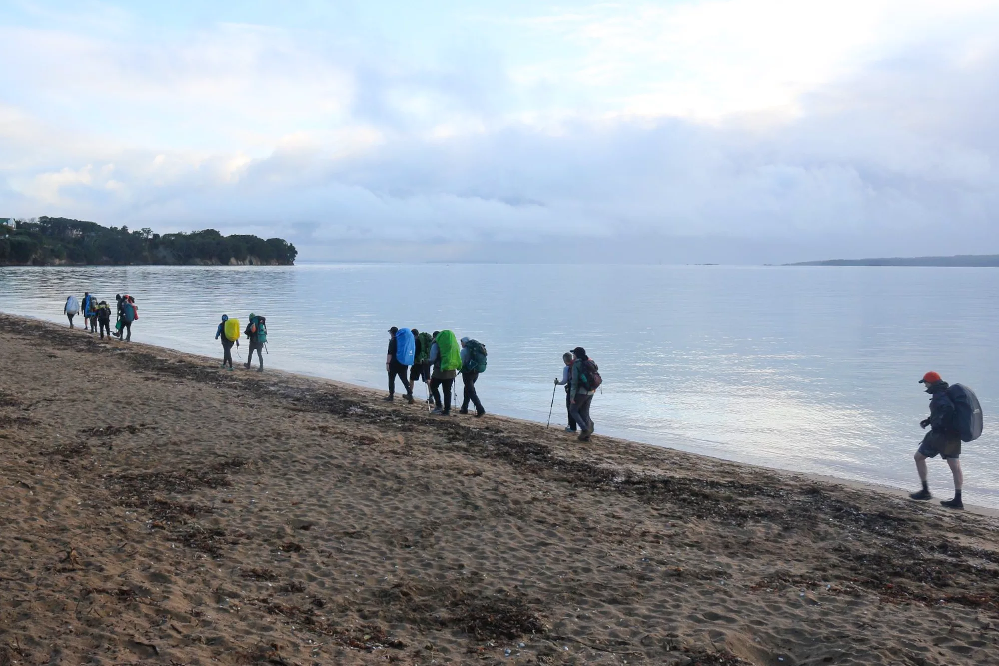
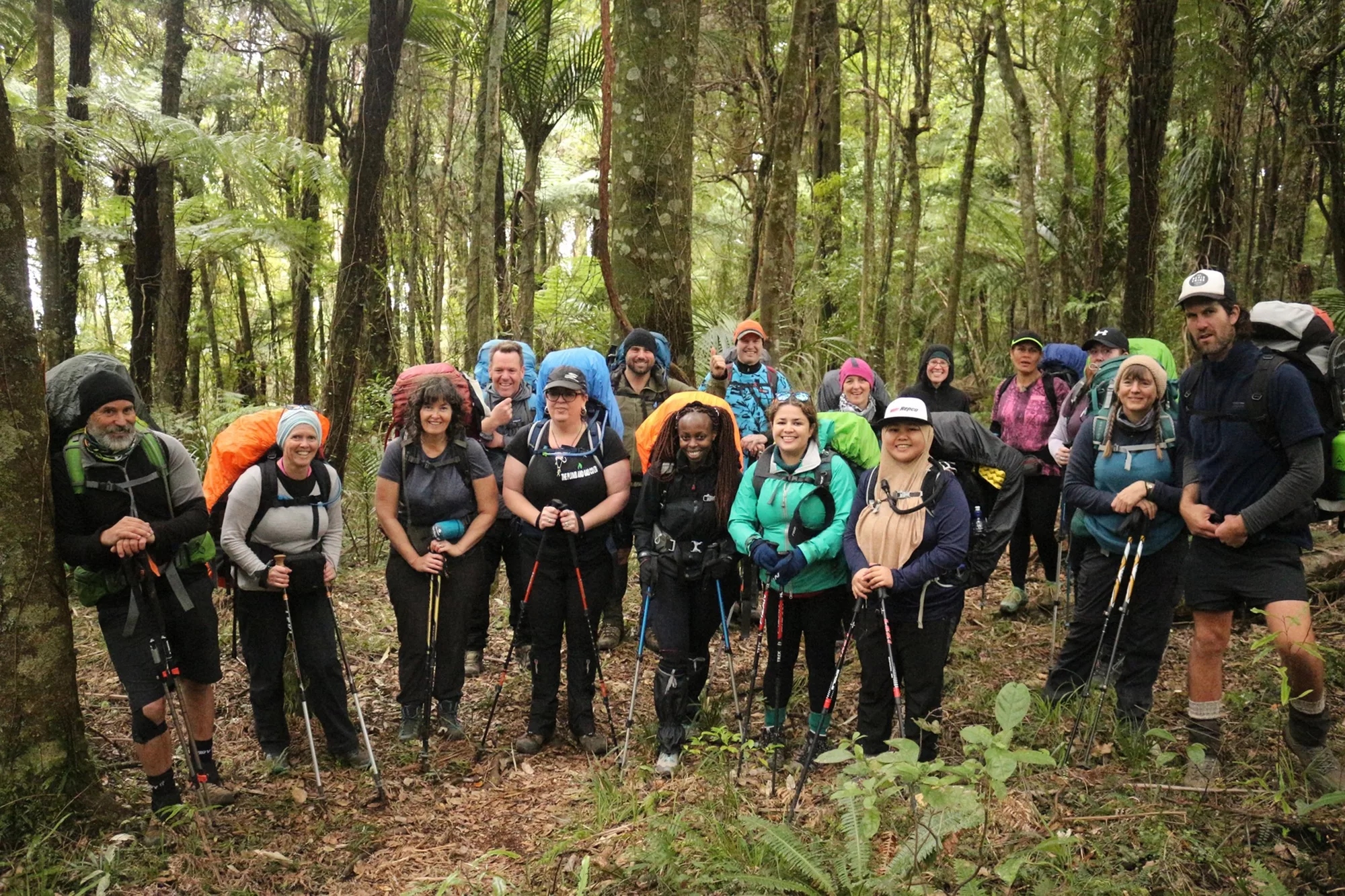
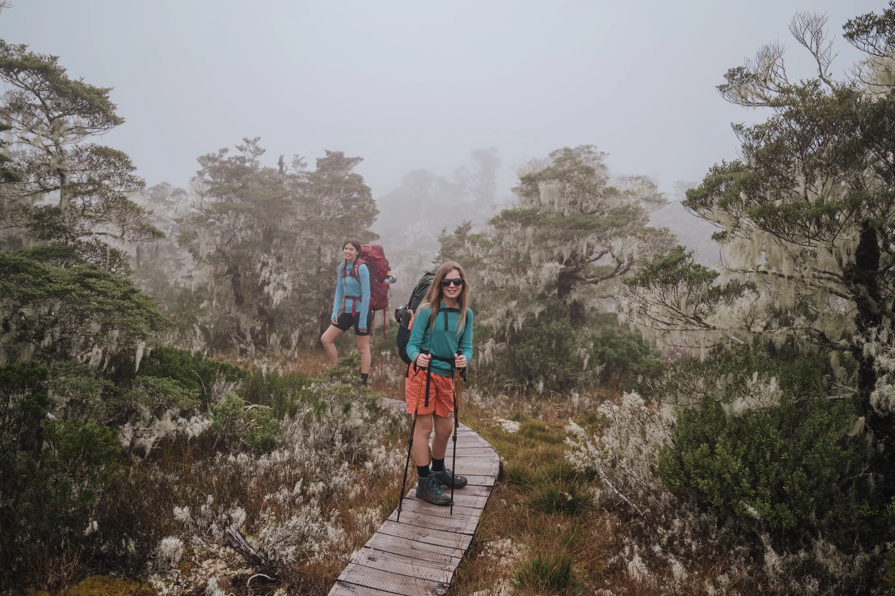
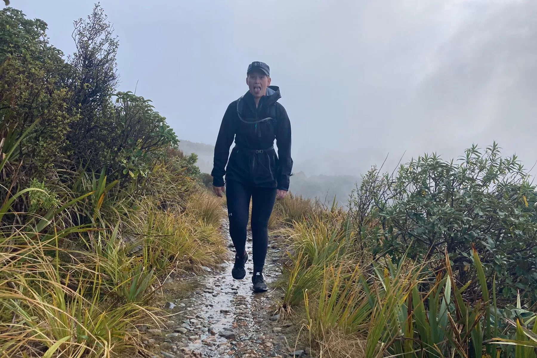
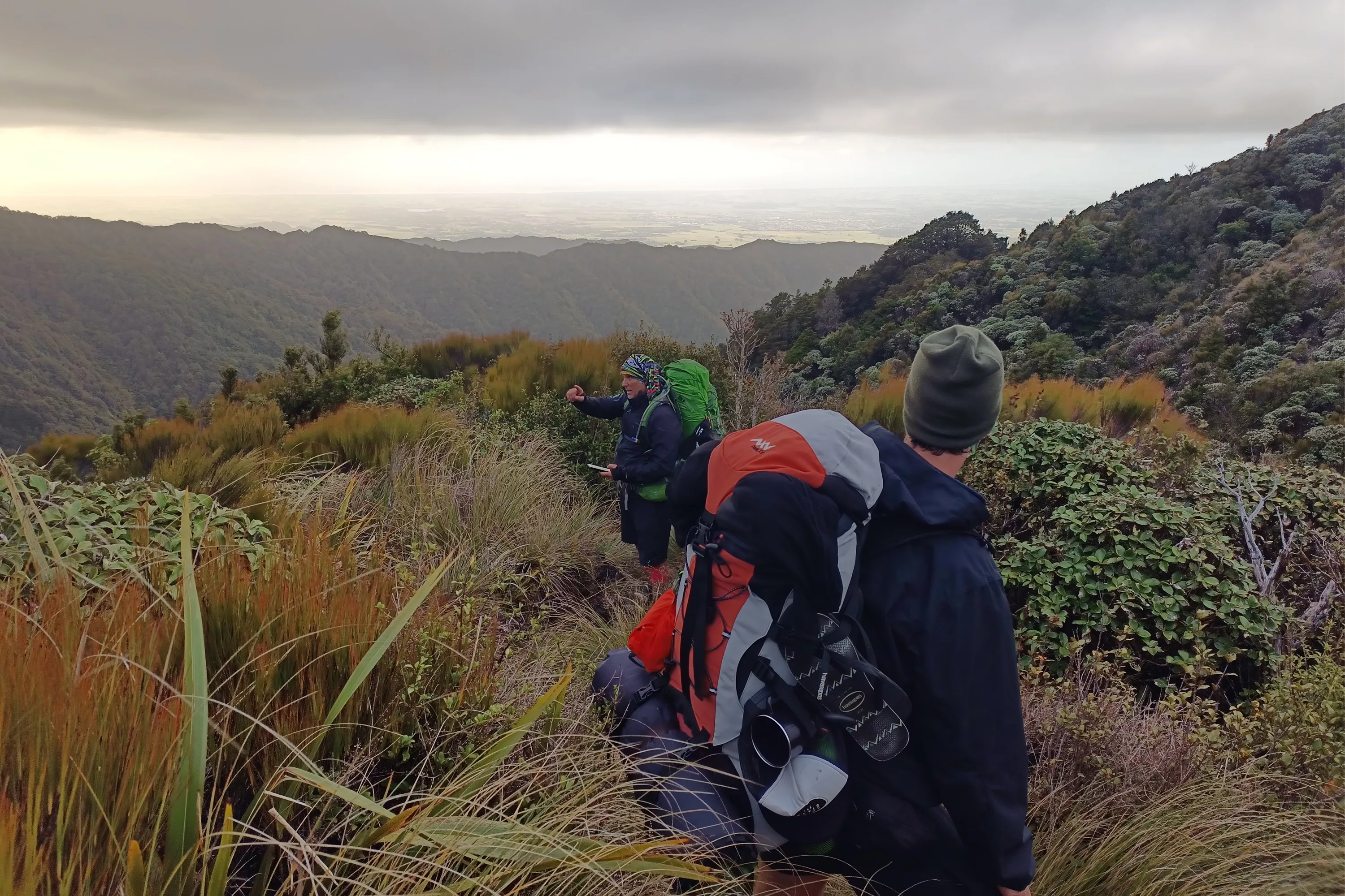
We began walking from the Levin end mid morning, around 10am and had estimated 8 or 9 hours to get to the first hut, well before sundown. The challenge with tramping in a group of our size (about 14) with varying walking speeds, is groups can quickly spread out. By 8pm the whole group (front and back) were hiking with head torches on, and leaning their bodies against blowing winds and freezing rain. It was slippery and muddy underfoot, exhausting, and the ridge line was exposed to a blasting wind that really slowed progress.
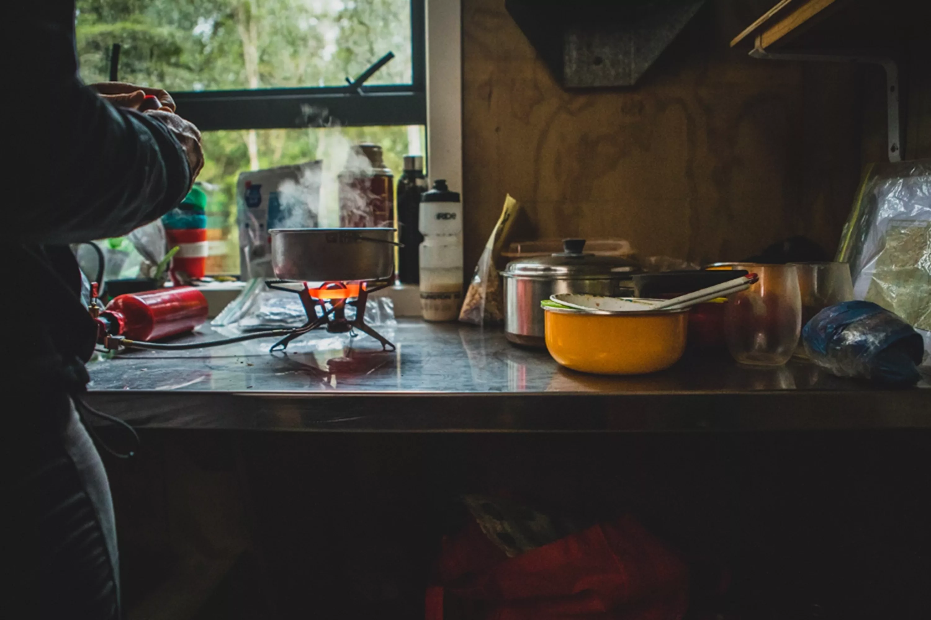
By 10pm some of the group had successfully made it to Te Matawhai hut - throwing themselves into their sleeping bags and boiling up water for their freeze dri meals, but the rest of the group were spread several hours back. Those at the rear had to set up a bivvy (temporary camp) rather than walking on, making the group decision that continuing in the rain and wet was just too unsafe.
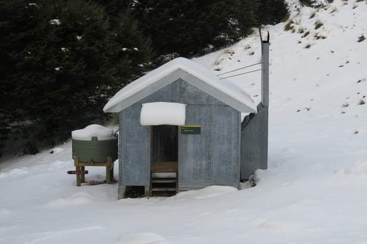
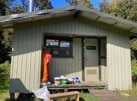
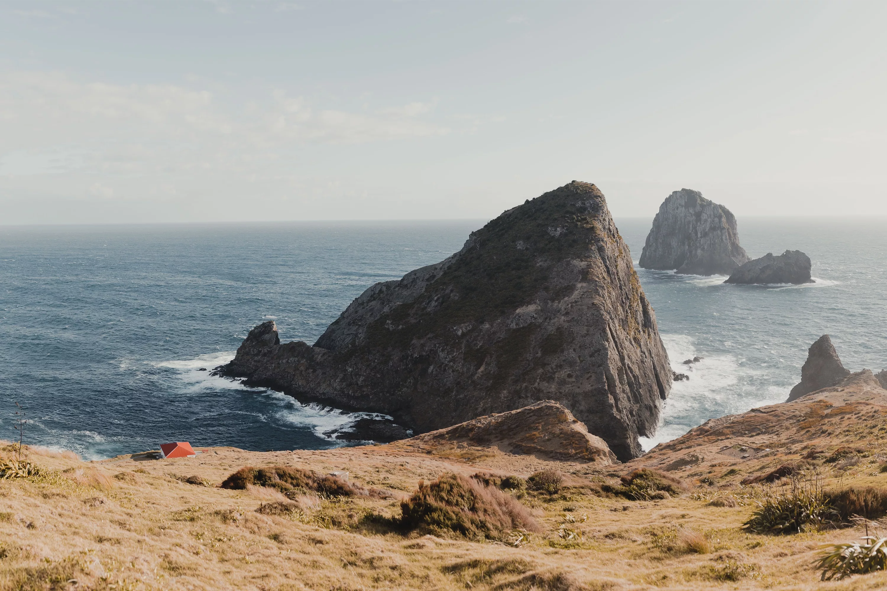
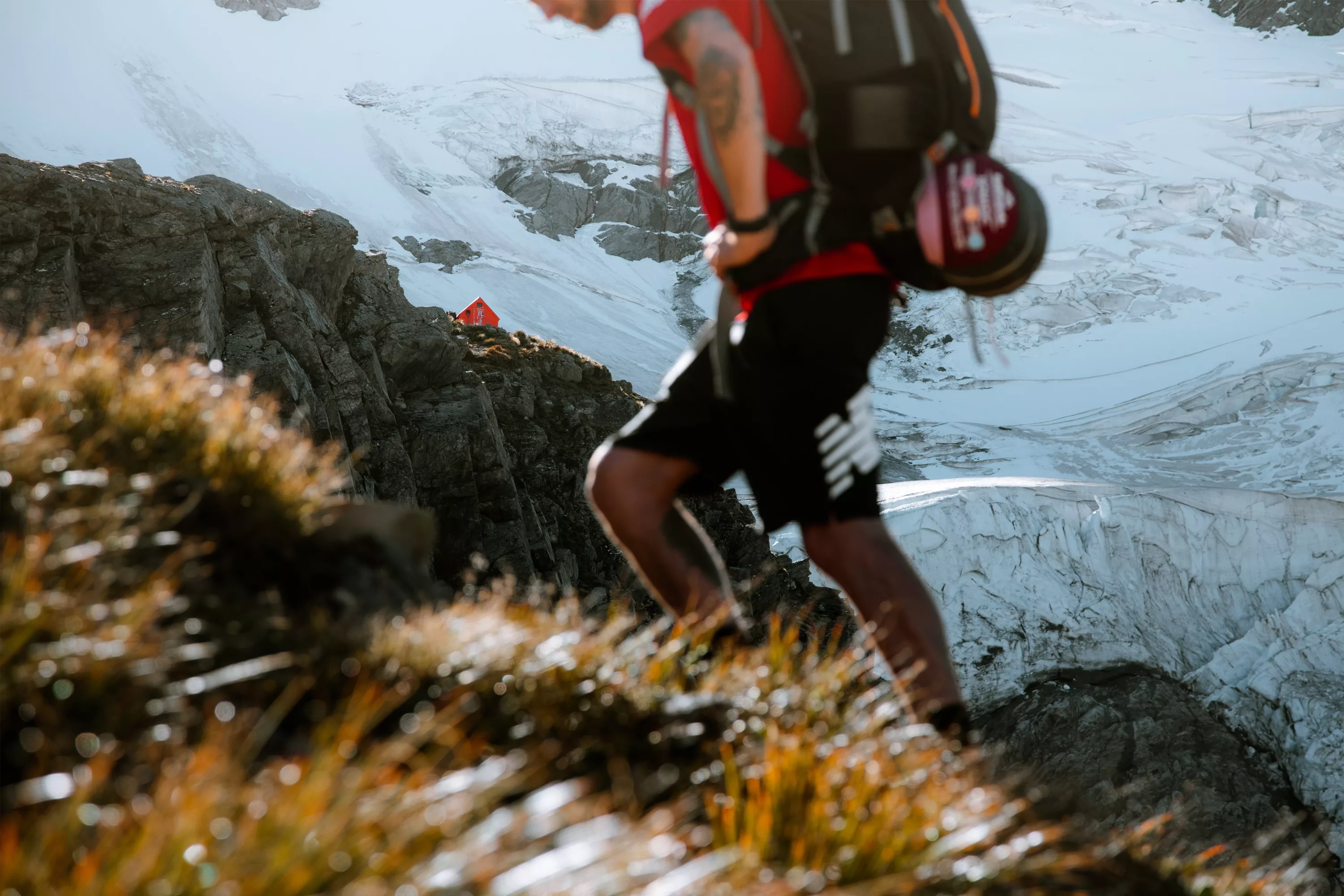
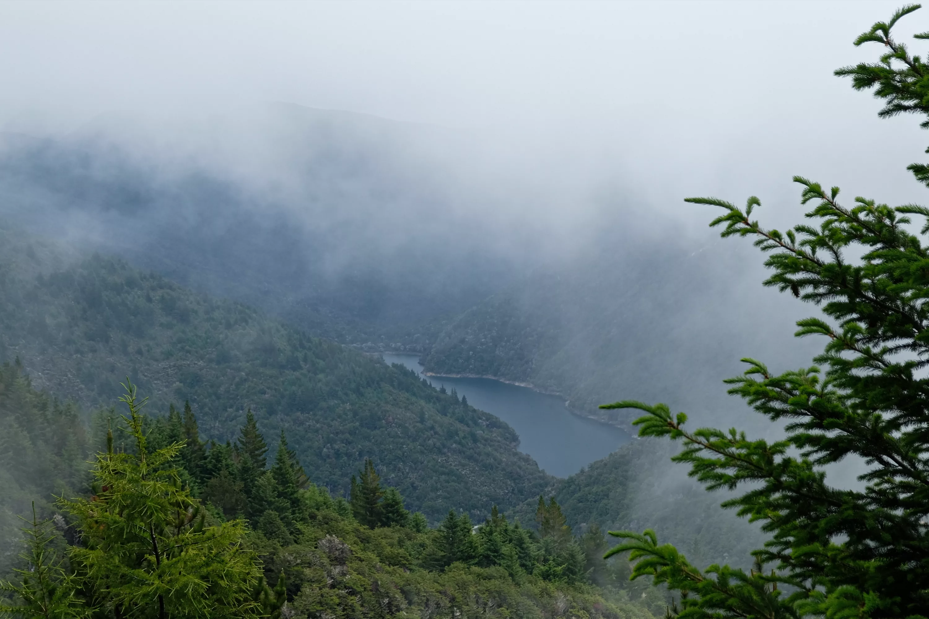
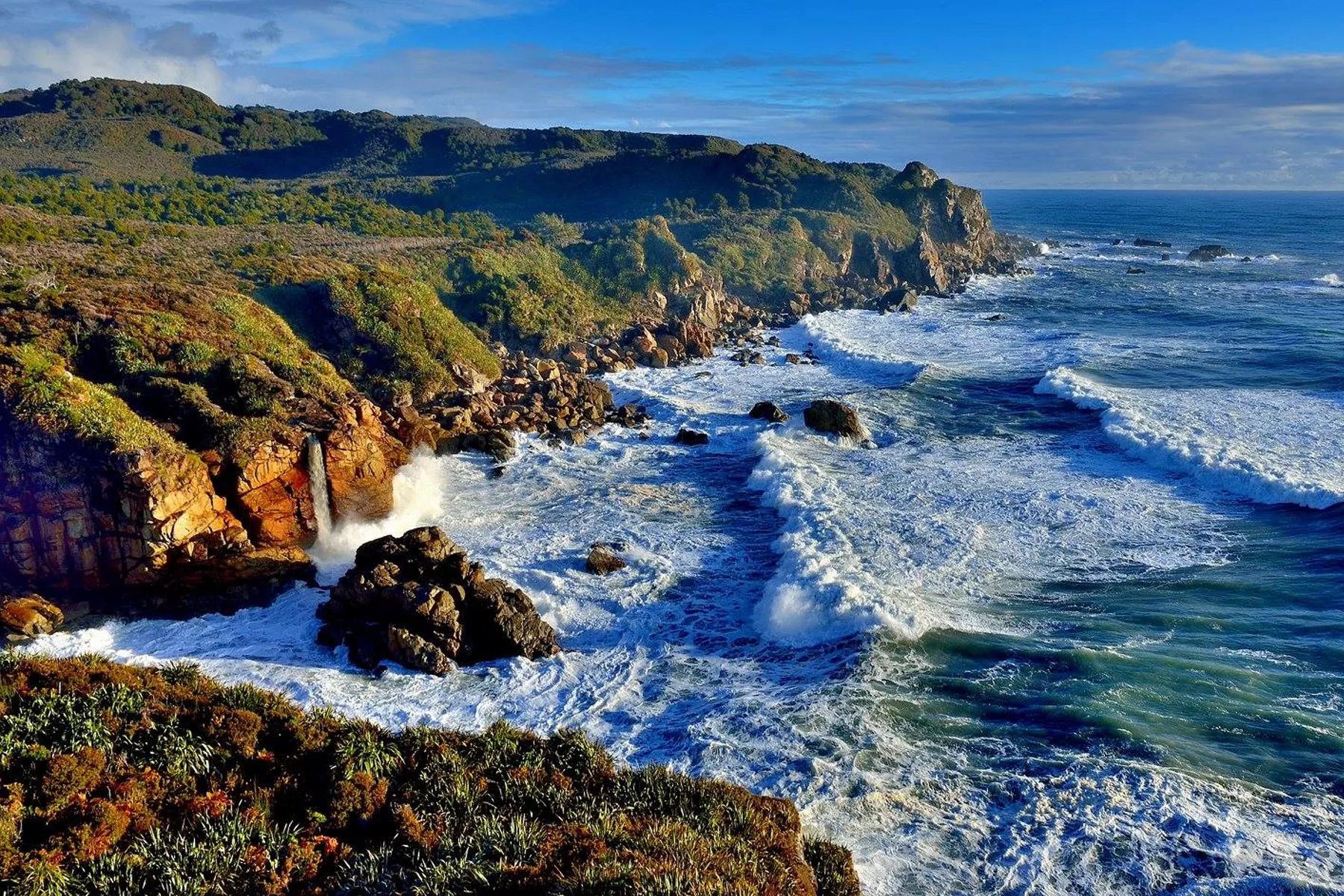
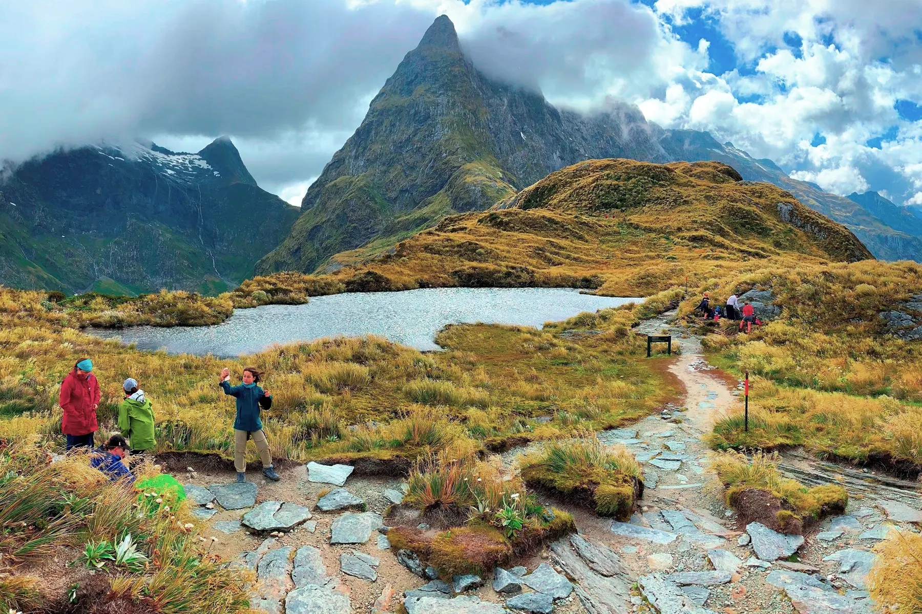
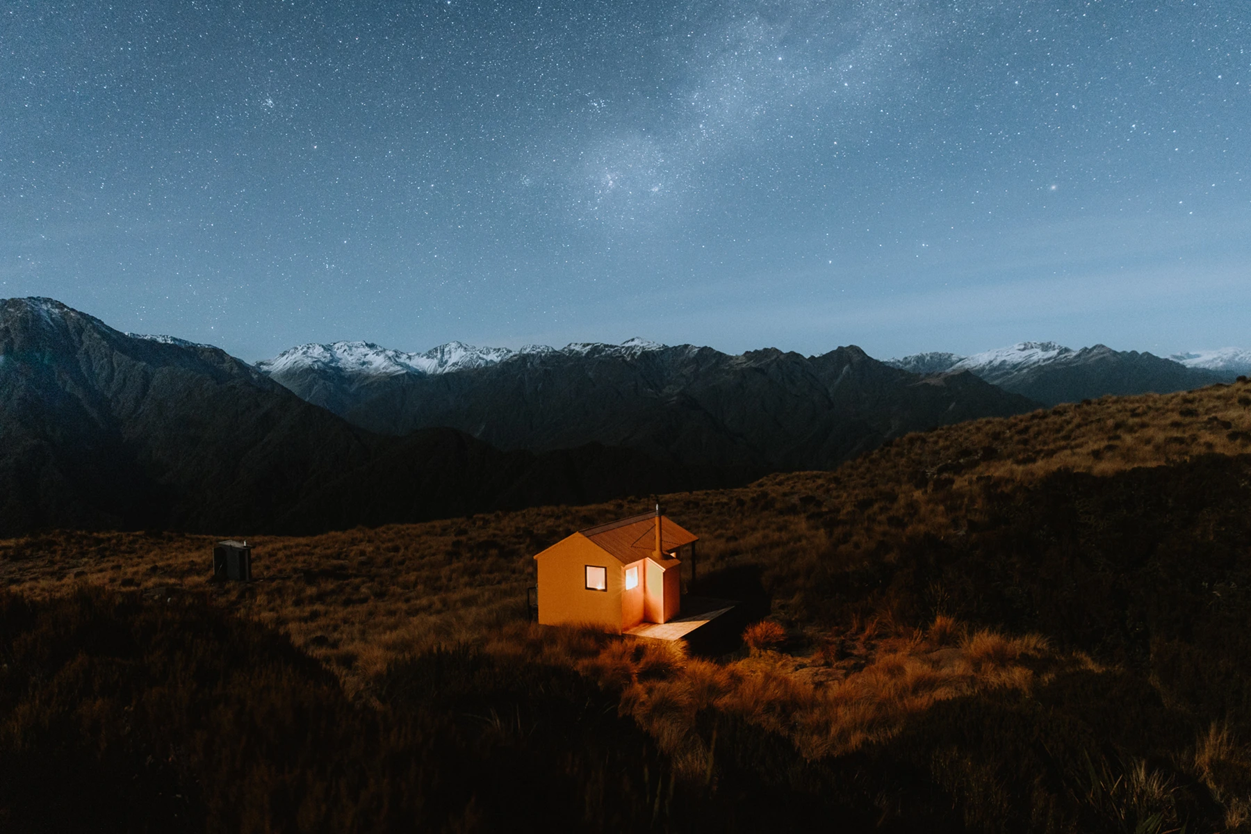
Instead of continuing from Te Matawhai hut ‘up and over’ toward Otaki Forks, our group made the safety-call to return to Waiopehu Hut, an unheated but comfortable DOC hut on the bushline at 900m above sea level. When the cloud eventually cleared, there were stunning views to the Kapiti coast.
Although the group were disappointed not to follow the true Te Araroa route toward Otaki Forks, it was a pleasant stay at Waiopehu, and the descent back to Poads road meant we were on the road by midday, back to Auckland where most of the trampers are based.
People thinking about hiking this, or any, section of Te Araroa, should download the trail notes (see teararoa.org.nz) and prepare by sourcing the right clothing for the conditions, equipment such as walking poles and footwear, lightweight and waterproof tents, and lightweight high energy nutrition to keep energy up during long days on foot with backpack. For Tararua in particular, wet weather gear and very warm clothes are needed at all times of year. You should pack on the basis of spending an extra day or two in the bush as well.
HIKE FIVE DETAILS
TE ARAROA TRAIL SECTIONS HIKED
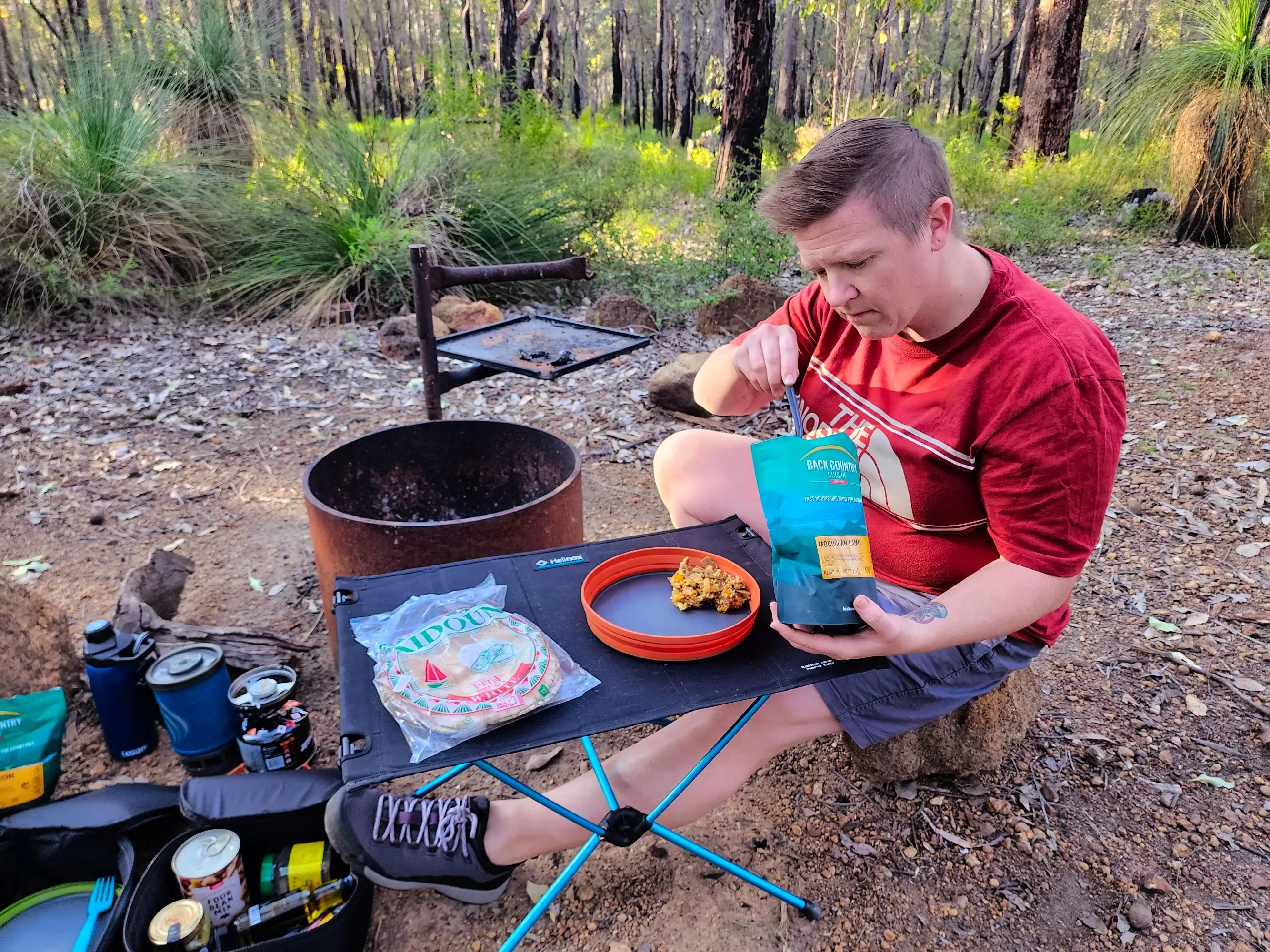
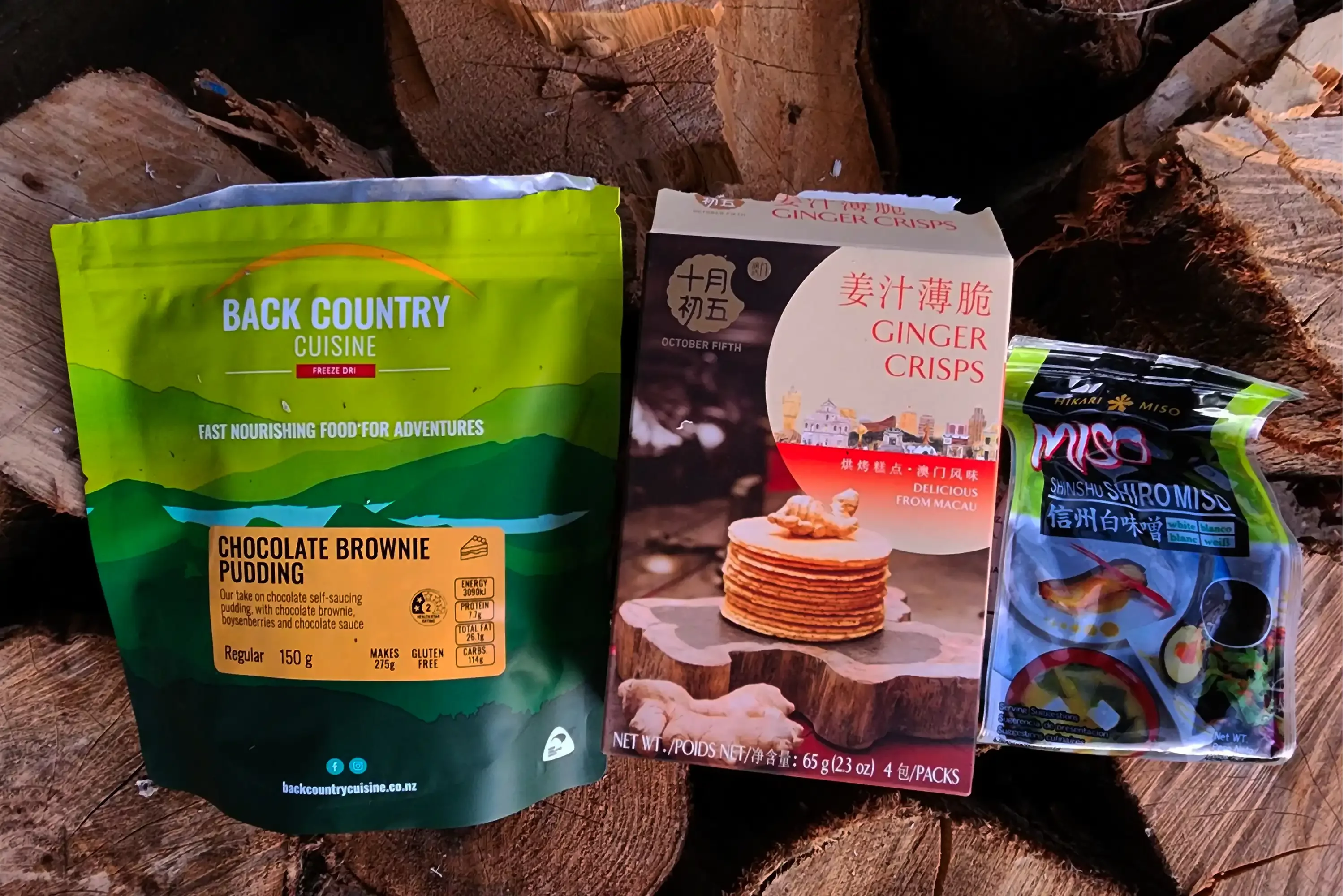
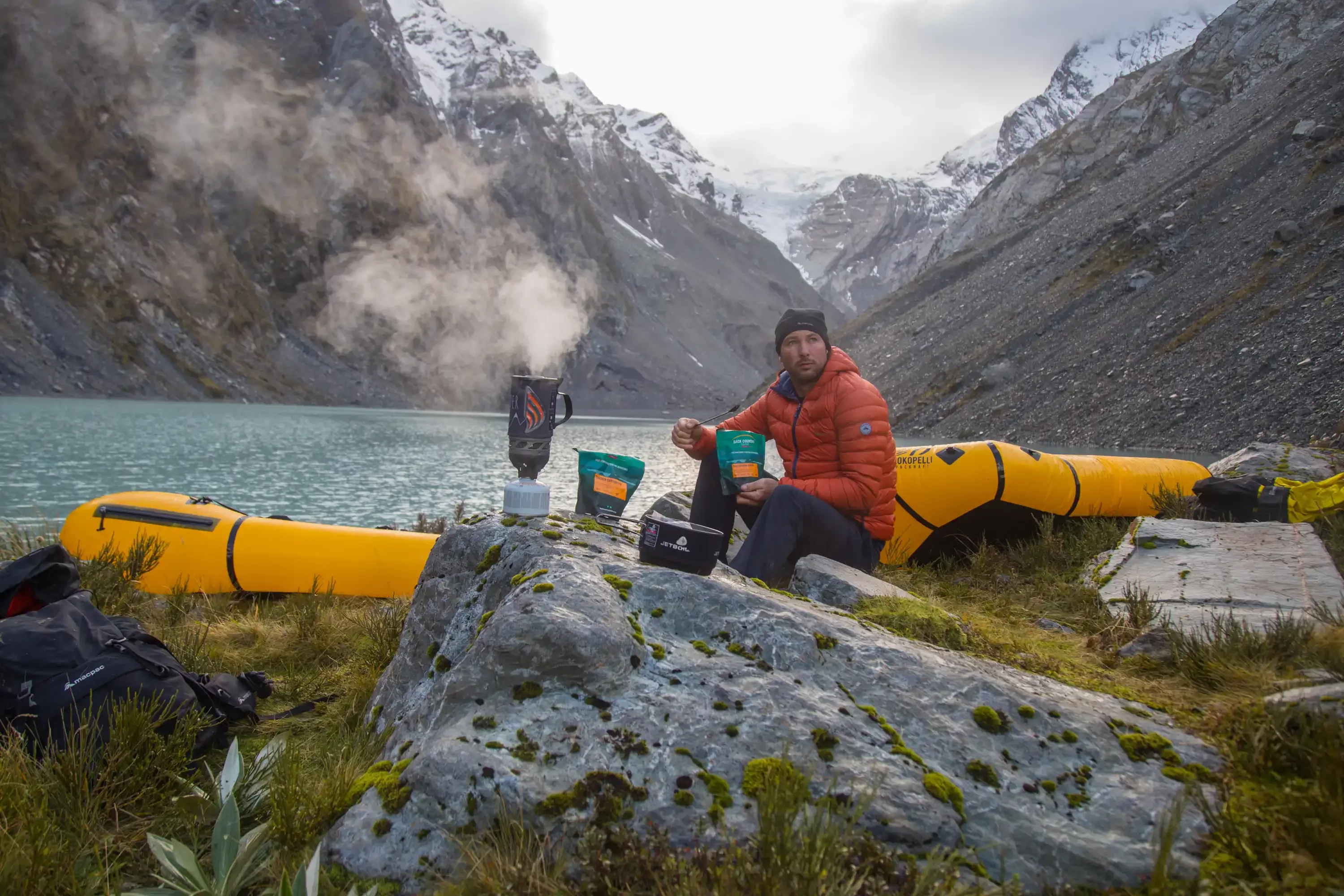
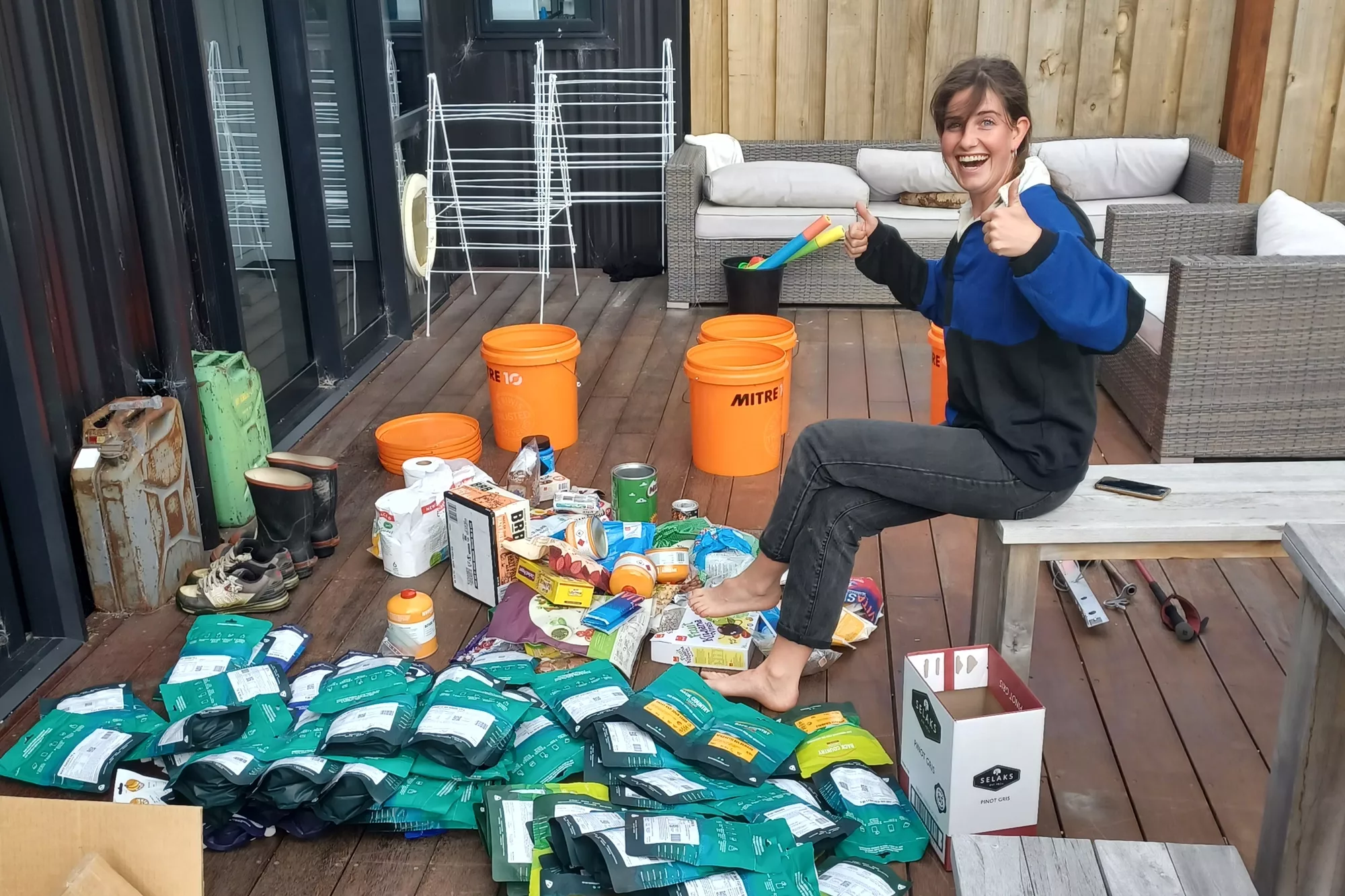
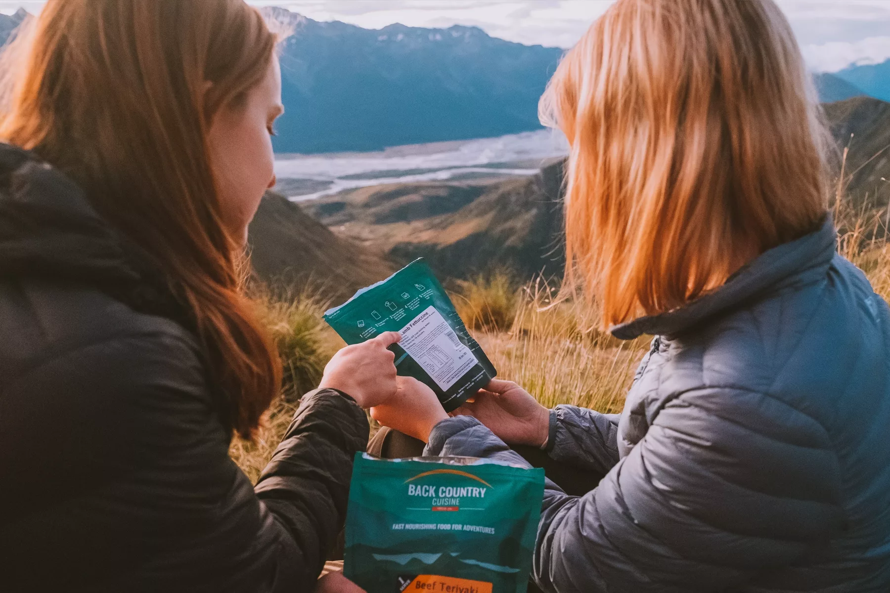
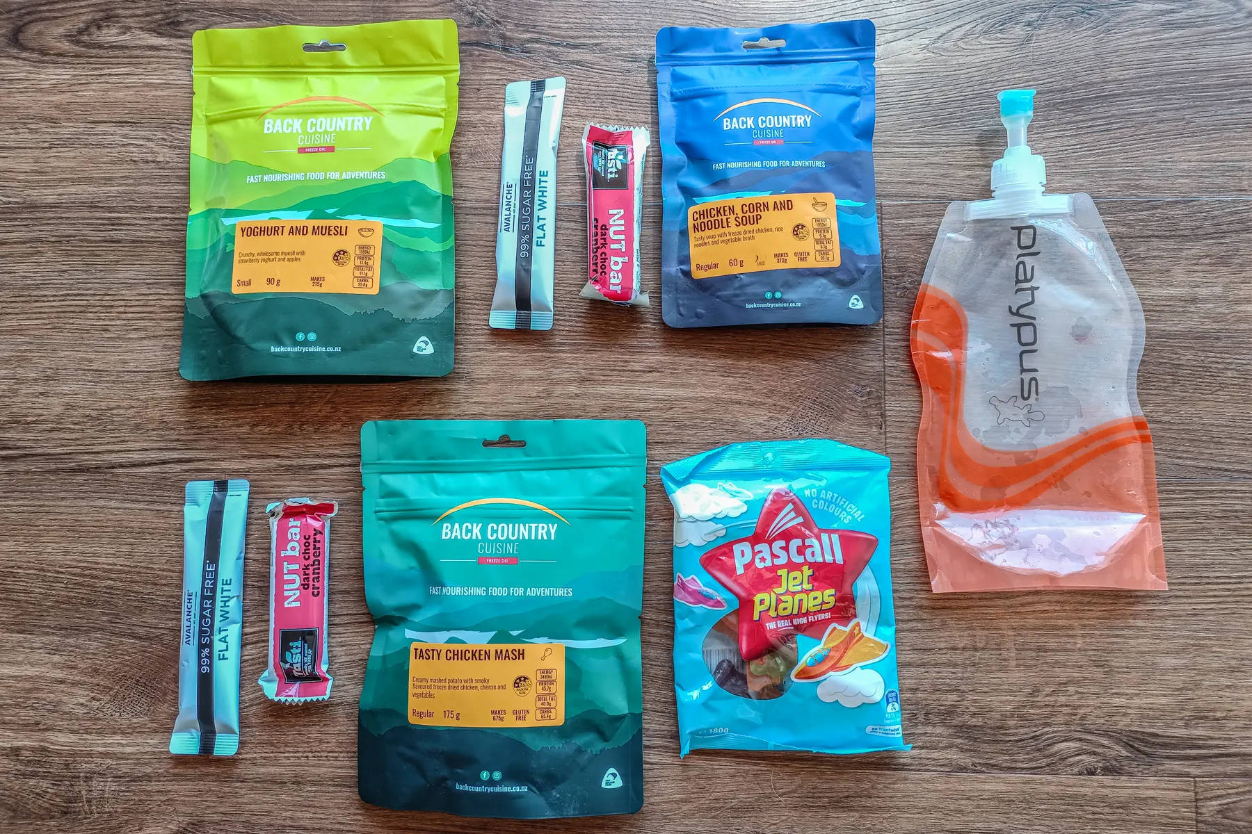
FOOD EATEN
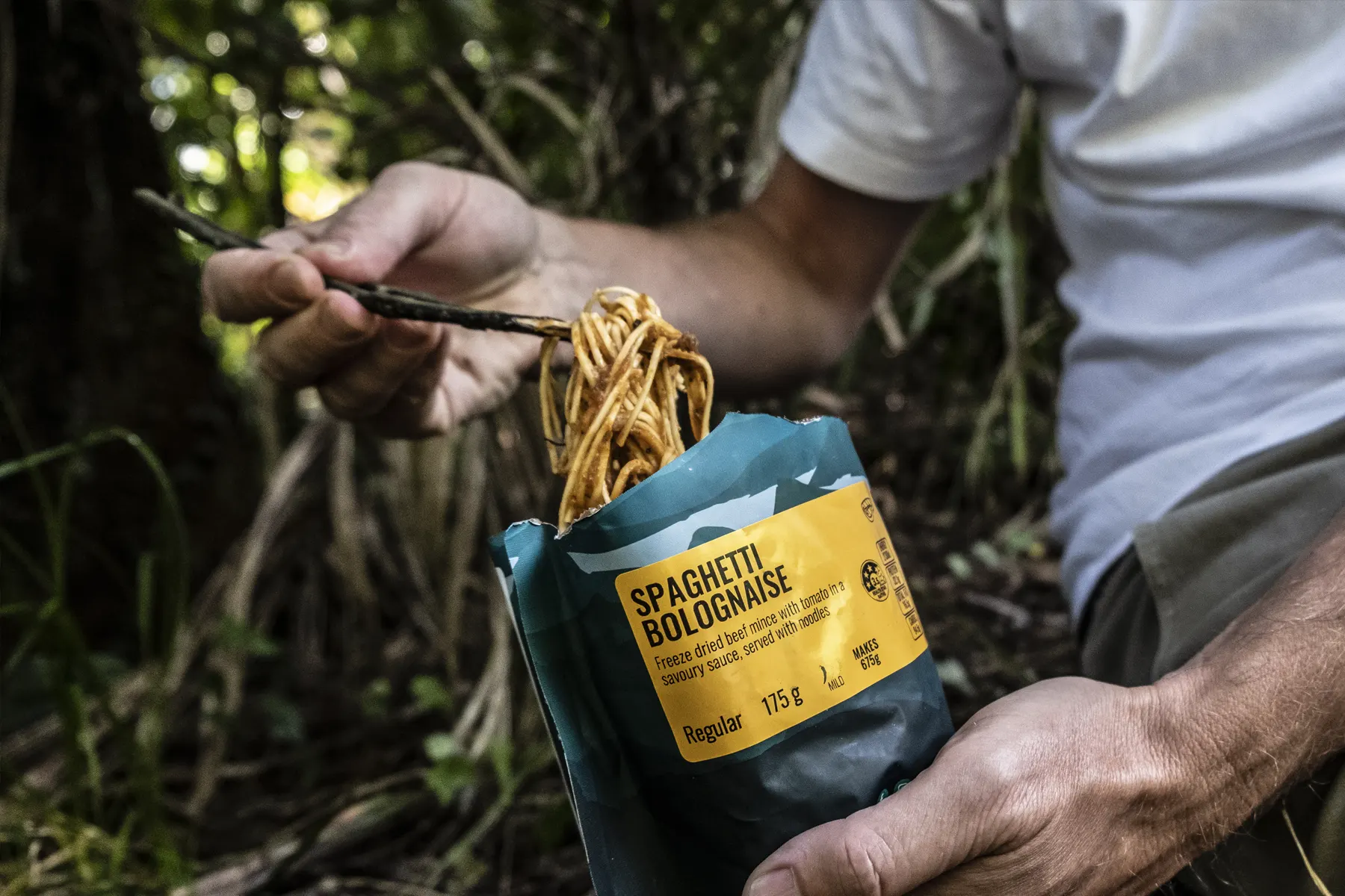
- Light to carry, fast to make, tasty and nourishing Back Country Cuisine
- For more information on food for hiking check out our blog post: How to Make Tramping Food Simple
TIPS
- Leave adequate time to drive to Levin, especially if you are from further up (or down) the country, like Auckland. It’s a long drive and you want to be rested on day 1
You need good quality boots, with great grip and ankle support - Pack light because you need to carry lots of water (there are minimal water fill ups along the way) and also need space for wet weather and warm clothing
- A good head torch is needed - there are long walk times between some huts, especially on day one
- Have emergency communications such as a PLB or satellite phone, to call for help if needed. There was minimal reception for phones
- Take or download maps, make sure you know where you are going, and properly estimate walk times. Our group averaged around 1km per hour uphill.
FURTHER INFORMATION
To keep up to date with our latest blog sign up to our newsletter.